Tokyo to Kyoto by E-Bike, Day 7: Omihachiman to Kyoto, Where the Old Roads End
After six days and close to 600km, only one stretch of road was left, the run from Omihachiman into Kyoto. A lake shrine, a castle that isn’t one, and a final climb before the old capital.
Day 7. The last one. The leg that would finally put me in Kyoto. From Omihachiman it was about 55km, around three hours, mostly flat terrain except for a few short but steep climbs in Otsu.
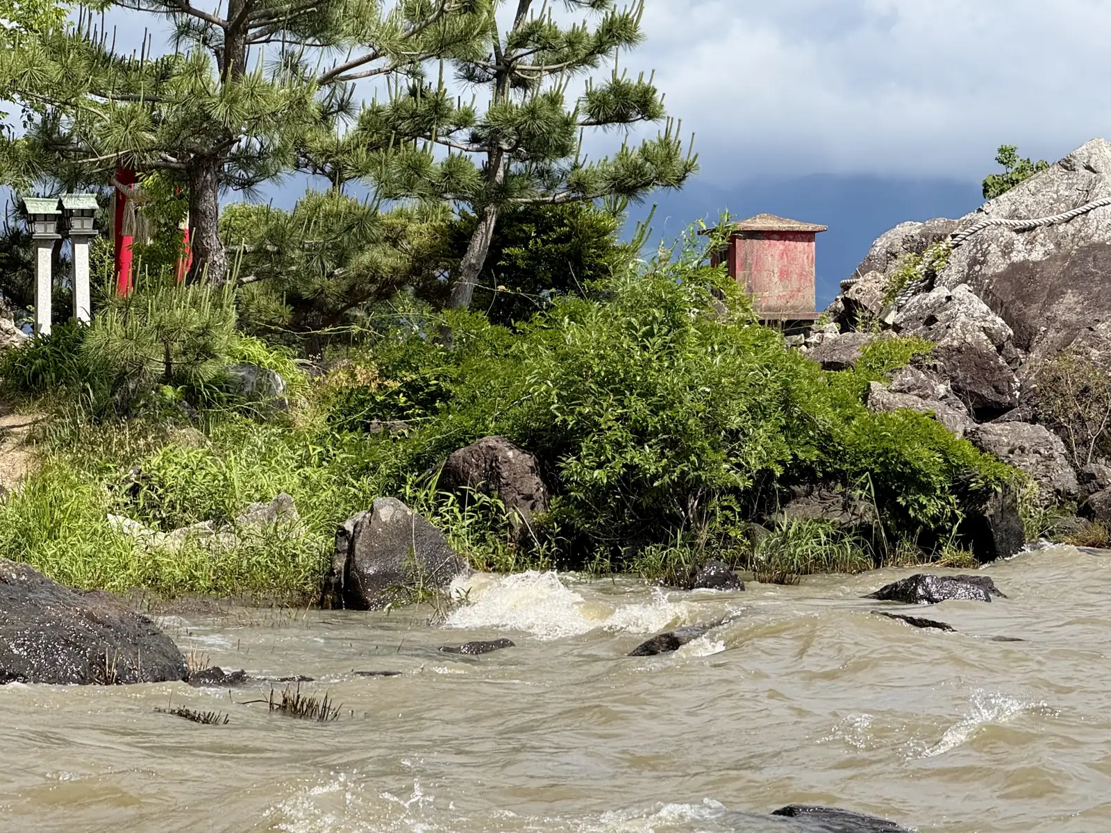
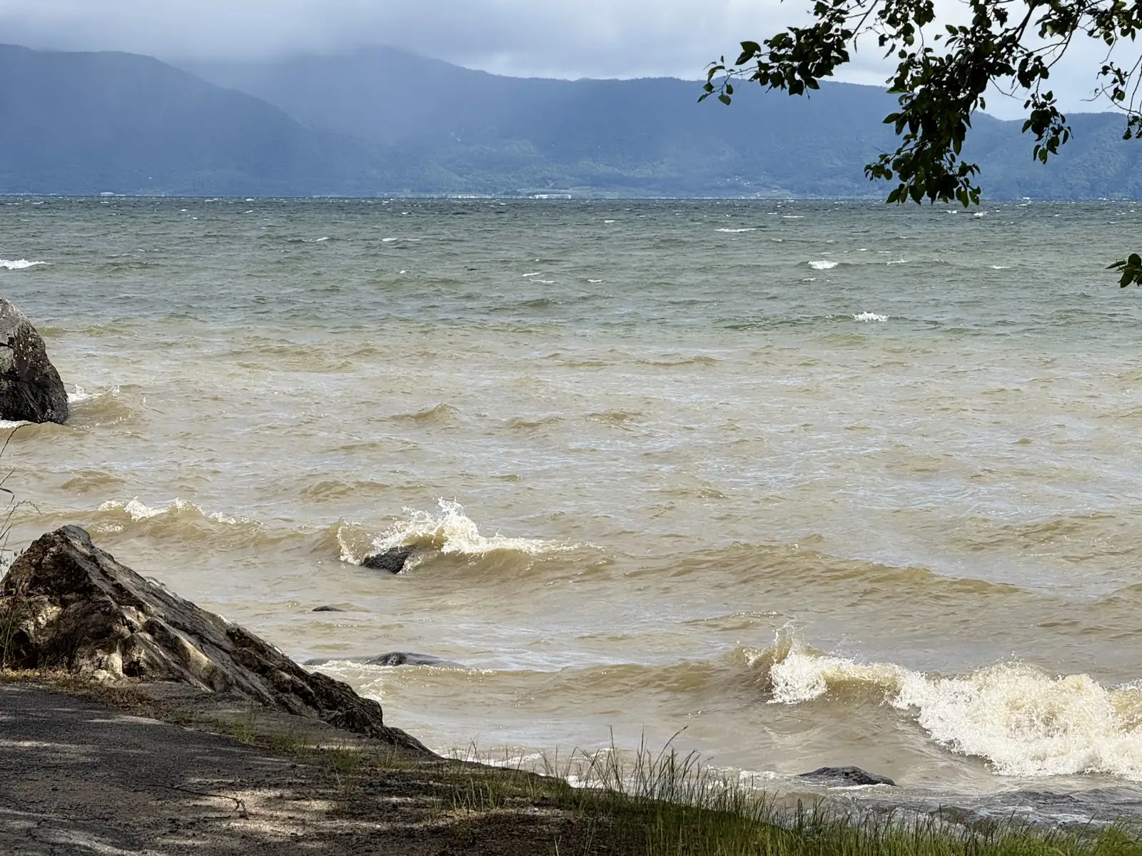
I left the hotel around nine, rode down to the shore, and picked up the cycling road. Not far along, I stopped at Fujigasakiryu Shrine, a place I’d visited once a few years back and had wanted to see again. It’s a small shrine, built onto the rocks at the water’s edge, just a red torii and a narrow cave with the lake spreading out behind it. This time, though, the path leading in was closed off after a landslide in early 2025. It didn’t matter much. The wind had stirred up a light chop, which gave better photos than a flat calm would have. And then there were the hawks, a good number of them wheeling overhead. I made a point of keeping any food well out of sight, because these bandits notice the moment it appears, and come down like an arrow to snatch it before you know it. Don’t mess with the hawks!
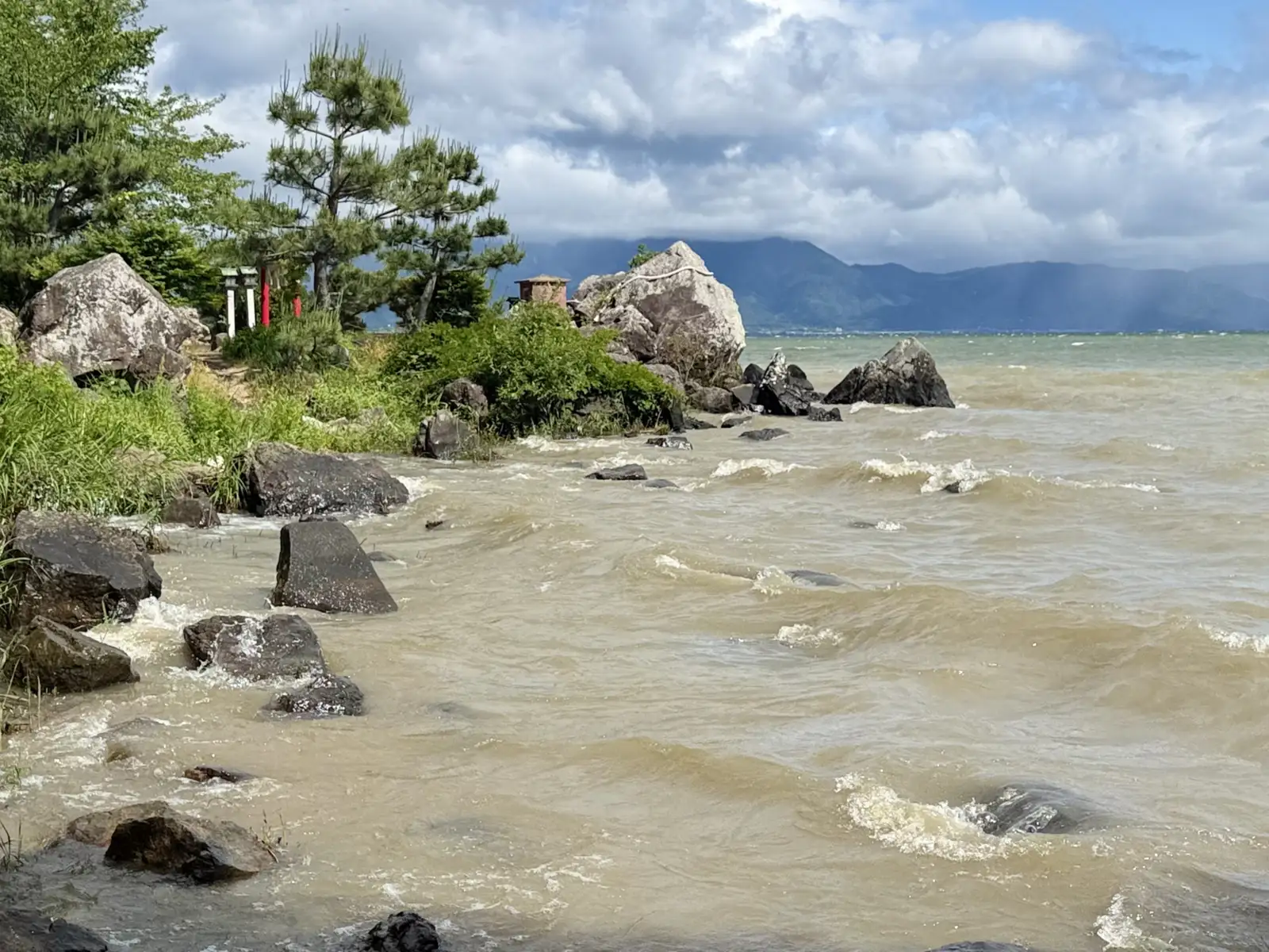
The shrine is here because of a dragon. The story goes that in 939 a warrior named Fujiwara no Hidesato killed a giant centipede on Mount Mikami at a dragon’s request, and in thanks it brought him to this shore and gave him a bale of rice that never ran empty. The villagers enshrined it, and it’s still the deity here: a married pair, the husband on the rock facing the lake and the wife in the cave, both worshipped as gods of water and weather.
How the place got its name is the less settled part, and there are two versions. One traces it to that same warrior, who lent it the Fuji from his surname, Fujiwara. The other goes to a ninth-century court painter, Kose no Kanaoka, who stopped here to paint the lake, found the view past anything he could get onto paper, and broke his brush, so the spot became Fudegasaki, Brush Point, which softened into Fujigasaki. Either way, the name has stuck for over a thousand years.
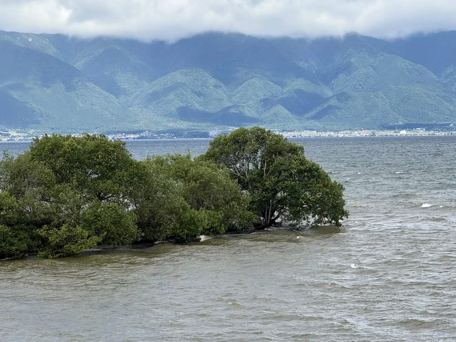
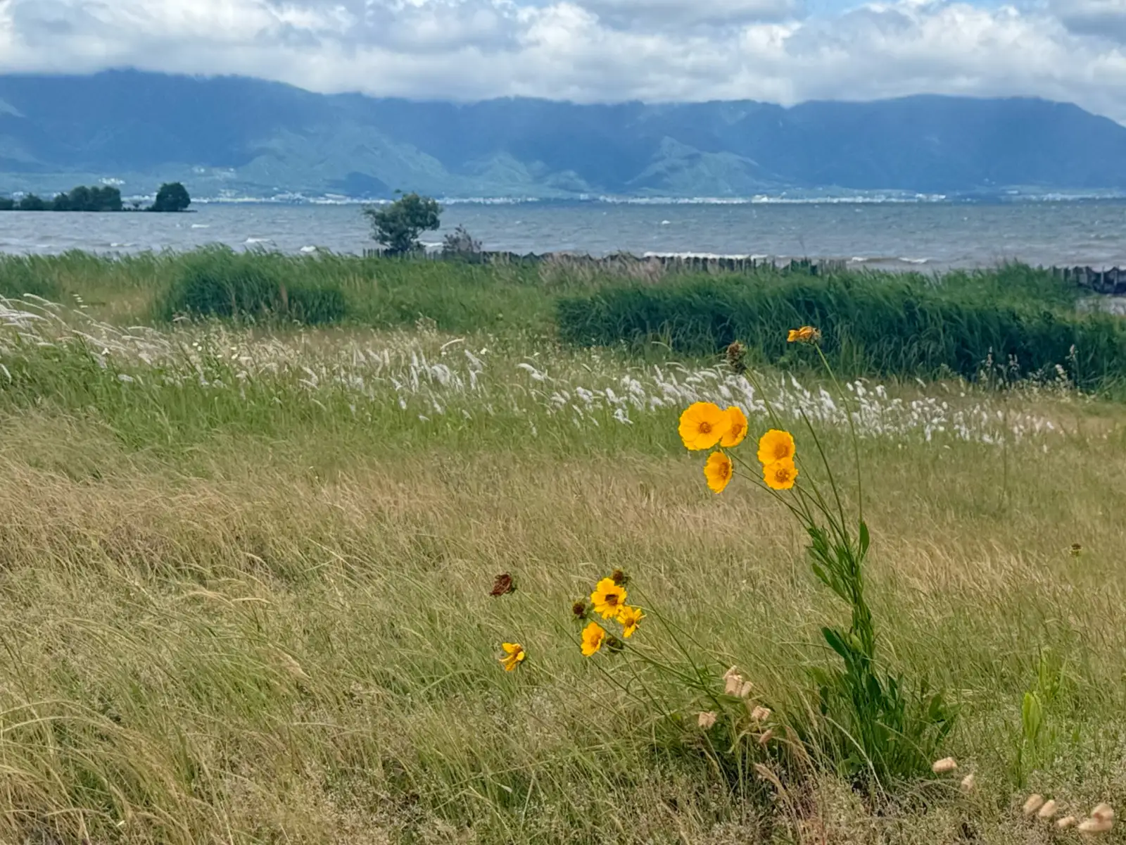
I carried on along the cycling road. The shore through here stays thick and overgrown for long stretches, with patches of open green between.
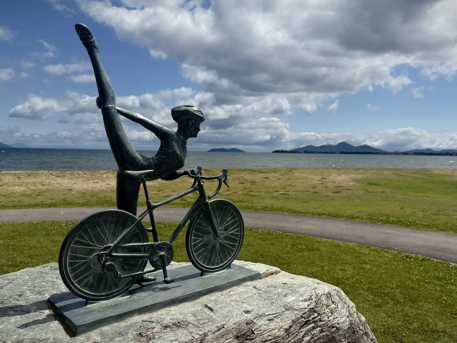
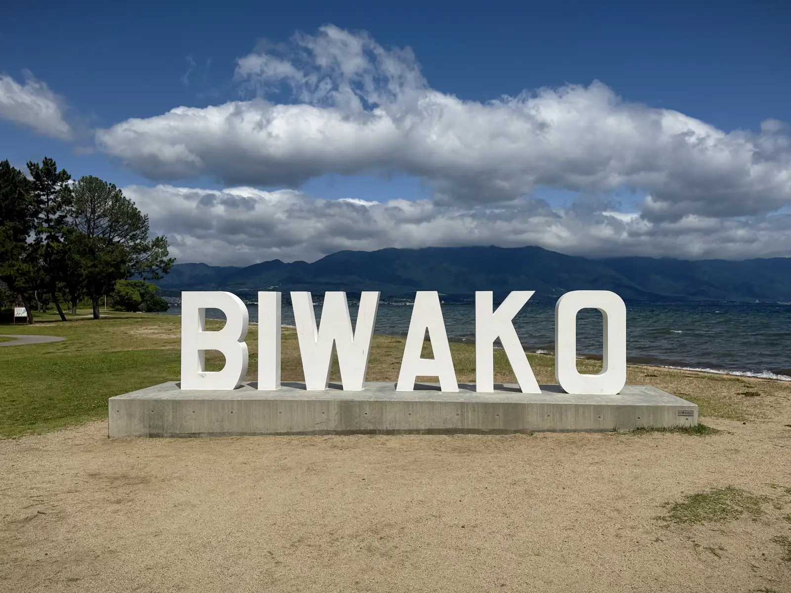
I stopped at the 2nd Nagisa Park, where two monuments stand close together: a bronze cyclist on a plinth, officially the Lake Biwa Cyclists’ Sacred Site, and a line of block letters spelling out BIWAKO. It’s the start of Biwaichi, the long lap of the lake, and most people riding it pull over here for a photo.
There was still a fair bit of road left before the crossing. Then the Omi Ohashi, about 1.3km of bridge, carried me over the south end of the lake to the Otsu side. From there the route ran through a long shoreline park, and partway along it I came across a building I mistook, at first glance, for a castle, a restored one at least. It turned out to be the Biwako Bunkakan, the Lake Biwa Cultural Museum.
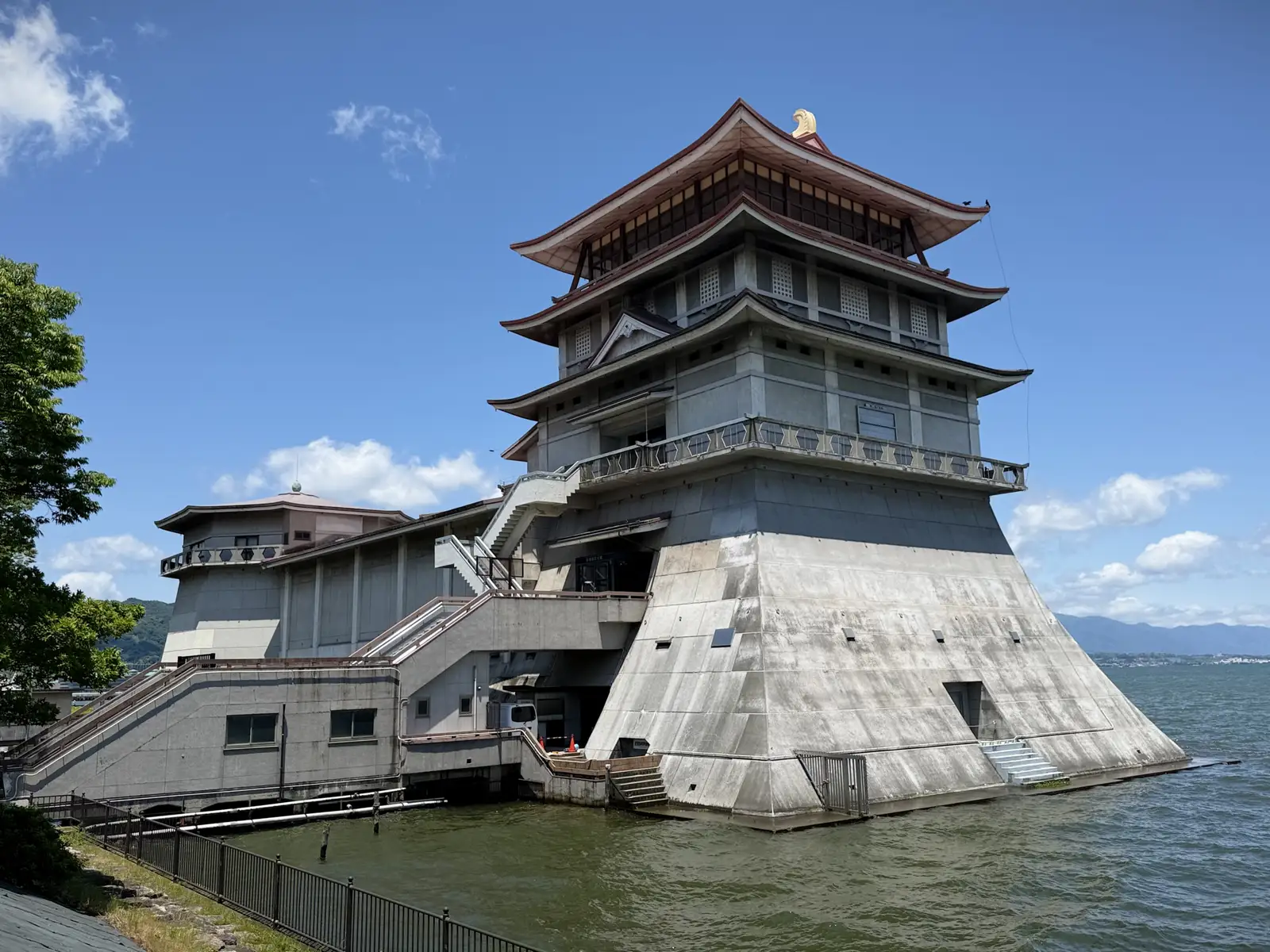
It was built in 1961, and the design is an odd hybrid: a traditional keep set on a heavy, sloping concrete base that runs straight down into the lake. Locals nicknamed it the Floating Castle, after a poem written for its opening. Inside, it held Buddhist art and regional artifacts, but it’s been shut to the public since 2008, since the building was too old and no longer structurally sound. Its replacement is going up now, a short way along the waterfront by Otsu Port, designed by Kengo Kuma’s office with Yasui Architects and shaped to suggest a ship. It’s due to open at the end of 2027.
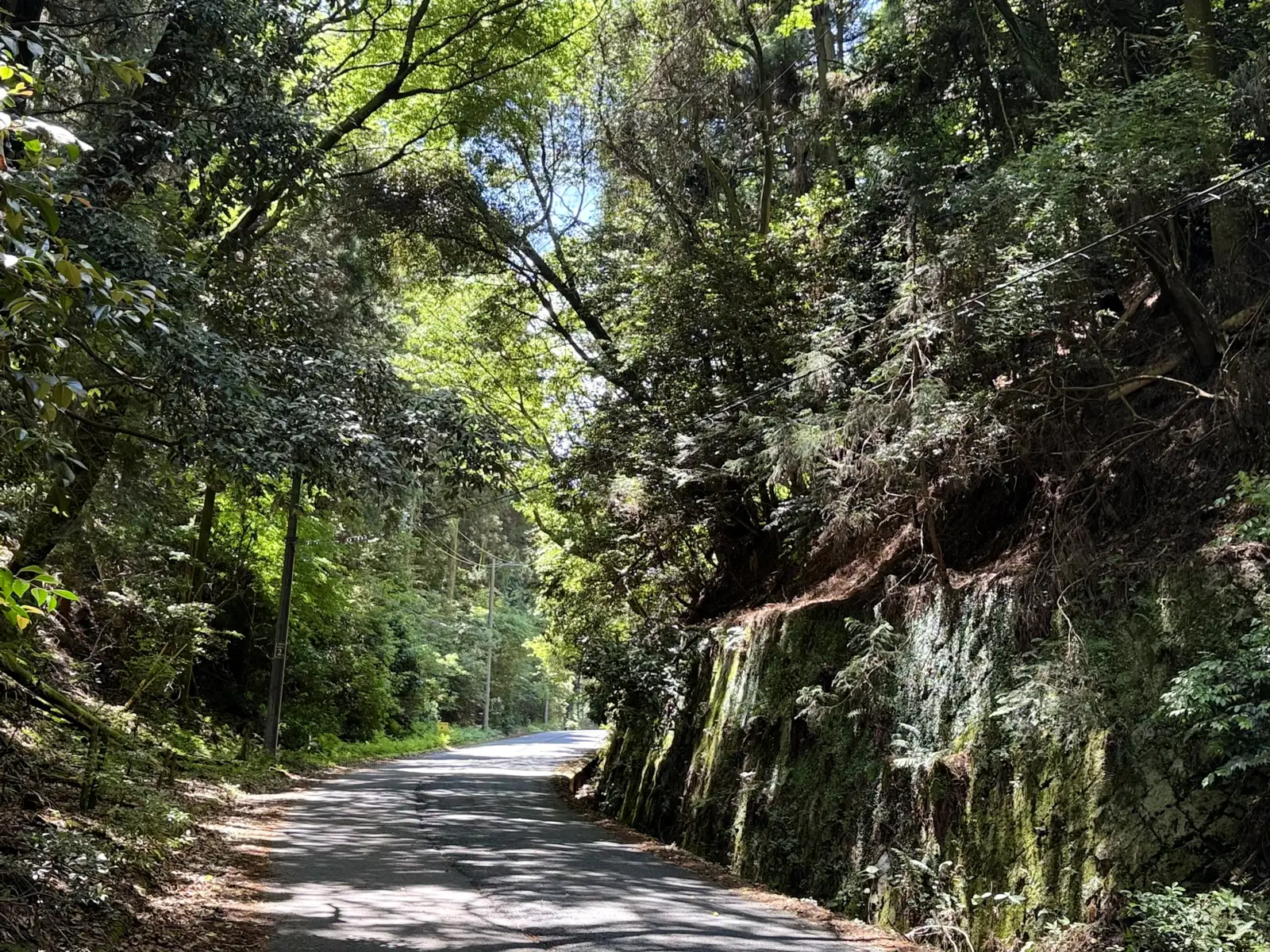
From the lake the road turned west toward the hills behind Otsu and started climbing right away. This was the last climb before Kyoto, short but steep, up through the forest, and it was a hot, clear day with the sun straight on my back. The Beast is heavy, and on the steepest part the motor and I both ran out, so I got off and pushed it the rest of the way up.
Over the top, heading down the other side, I passed a marker for the old Tokaido, and it stopped me for a second. The Tokaido was one of the two main roads that linked Edo, now Tokyo, with Kyoto back when people walked the trip: the coastal route, the one I’d more or less been following the whole way. The other was the Nakasendo, which ran through the inland mountains and came down the eastern shore past Omihachiman, where I’d set off that morning. The two ran apart for most of the country, then joined at Kusatsu near the south end of the lake and continued together over the pass above Otsu, headed for the same place.
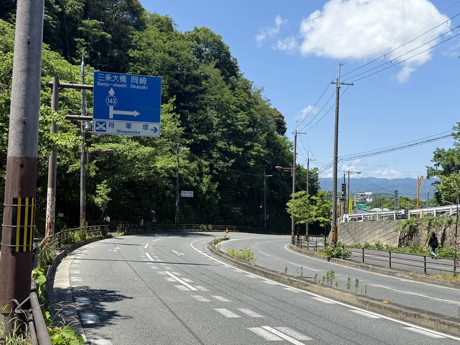
A little further down, the sign showed up: Sanjo Ohashi. If the name doesn’t mean anything to you, it’s one of the old bridges in central Kyoto, and it’s also the exact spot where both the Tokaido and the Nakasendo end. The finish line I’d been climbing toward all morning without realizing it. Past the sign the hills of the city showed in the distance, and there it was, the edge of Kyoto, 600km behind me.
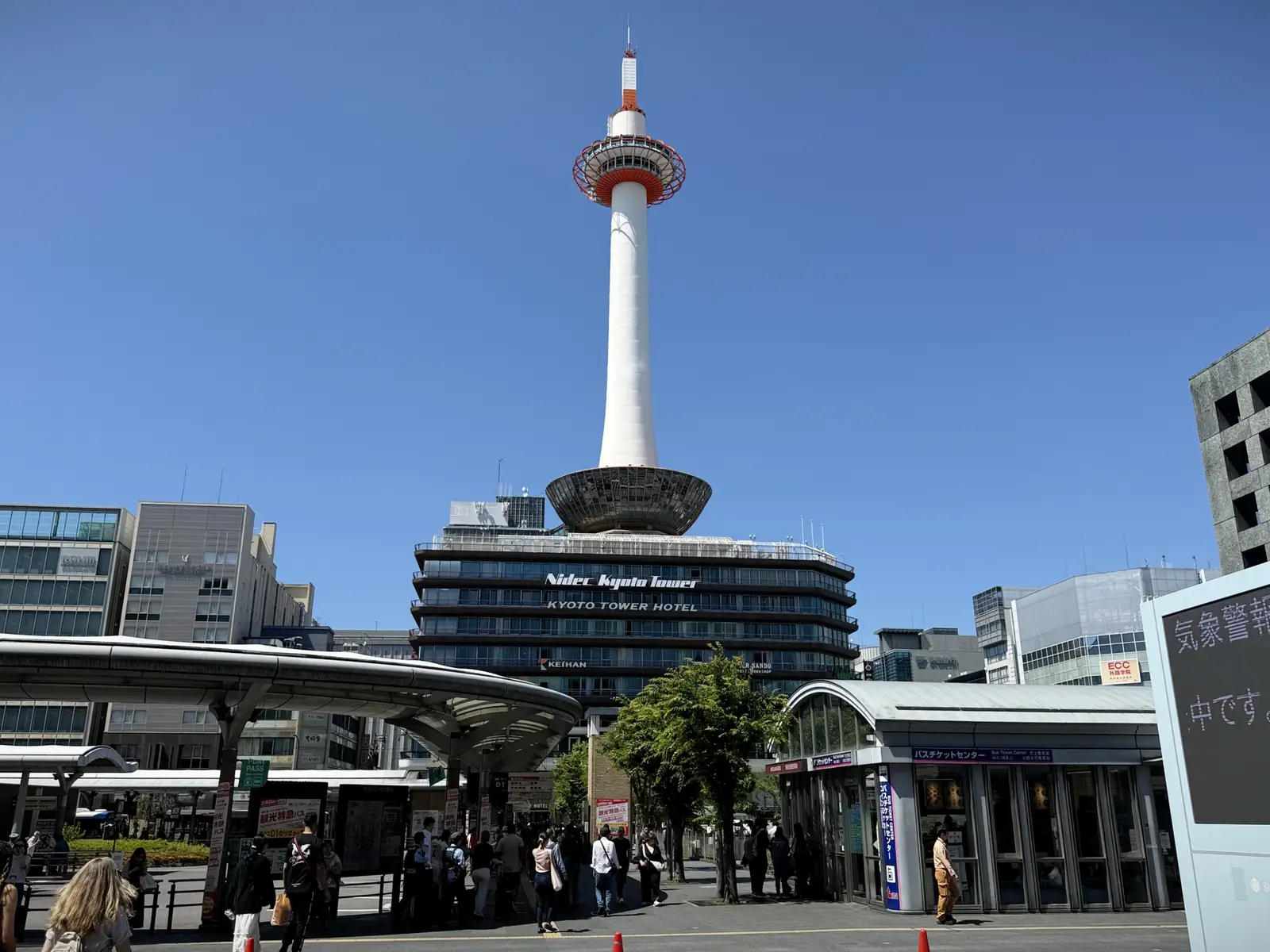
Then I let go of the brakes and rolled down into it. I came in through Yamashina, the old eastern gateway, and from there it was a long, easy ride through streets that were starting to feel familiar, past the foot of Higashiyama, through Gion, and finally to Kyoto Station, the end of the line. I got there at almost exactly noon. Seven days out of Tokyo, and the Beast and I had made it.