Tokyo to Kyoto by E-Bike, Day 4: Toyohashi to Nagoya, Past the Birthplace of a Shogun
From Toyohashi to Nagoya, past a shogun’s birthplace, the old Tokaido, and rice fields that follow you into the city. I stopped short of the climb into Shiga, with rain predicted on the way.
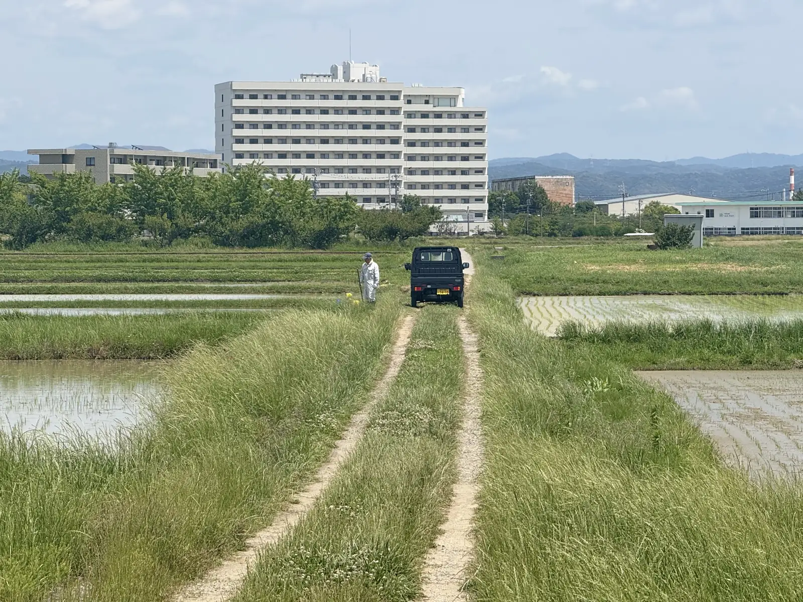
Day 4 was a shorter ride than the days before: just over 70km from Toyohashi to central Nagoya, in a more or less straight diagonal to the northwest. Mostly urban, but with rice fields turning up anyway. Anywhere you go in Japan, you can’t really dodge the rice fields.
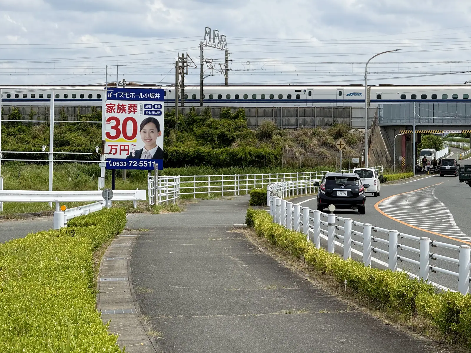
I left the hotel early and rode out through the suburbs of Toyohashi and Toyokawa, where I started crossing paths with the Shinkansen again, the line running overhead on its viaduct while I ducked under it.
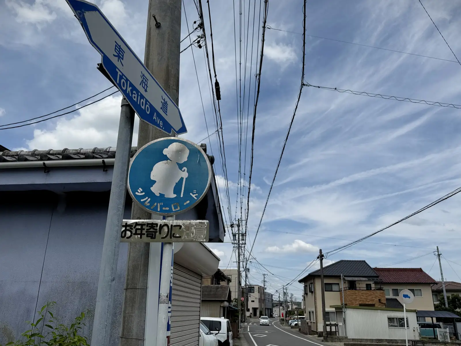
From there, a mere 15km stretch of hills to clear before the road dropped into Okazaki on the far side. Somewhere in the hills, the street I was riding turned out to be the old Tokaido itself. Not a modern road borrowing the name, but the genuine Edo-period highway that once carried every traveler between Tokyo and Kyoto. Now it is a sleepy residential lane, and the most curious thing on it was a blue “Silver Road” sign, telling drivers to watch for the elderly. The greatest road in old Japan, retired to a quiet life of looking after its pensioners.
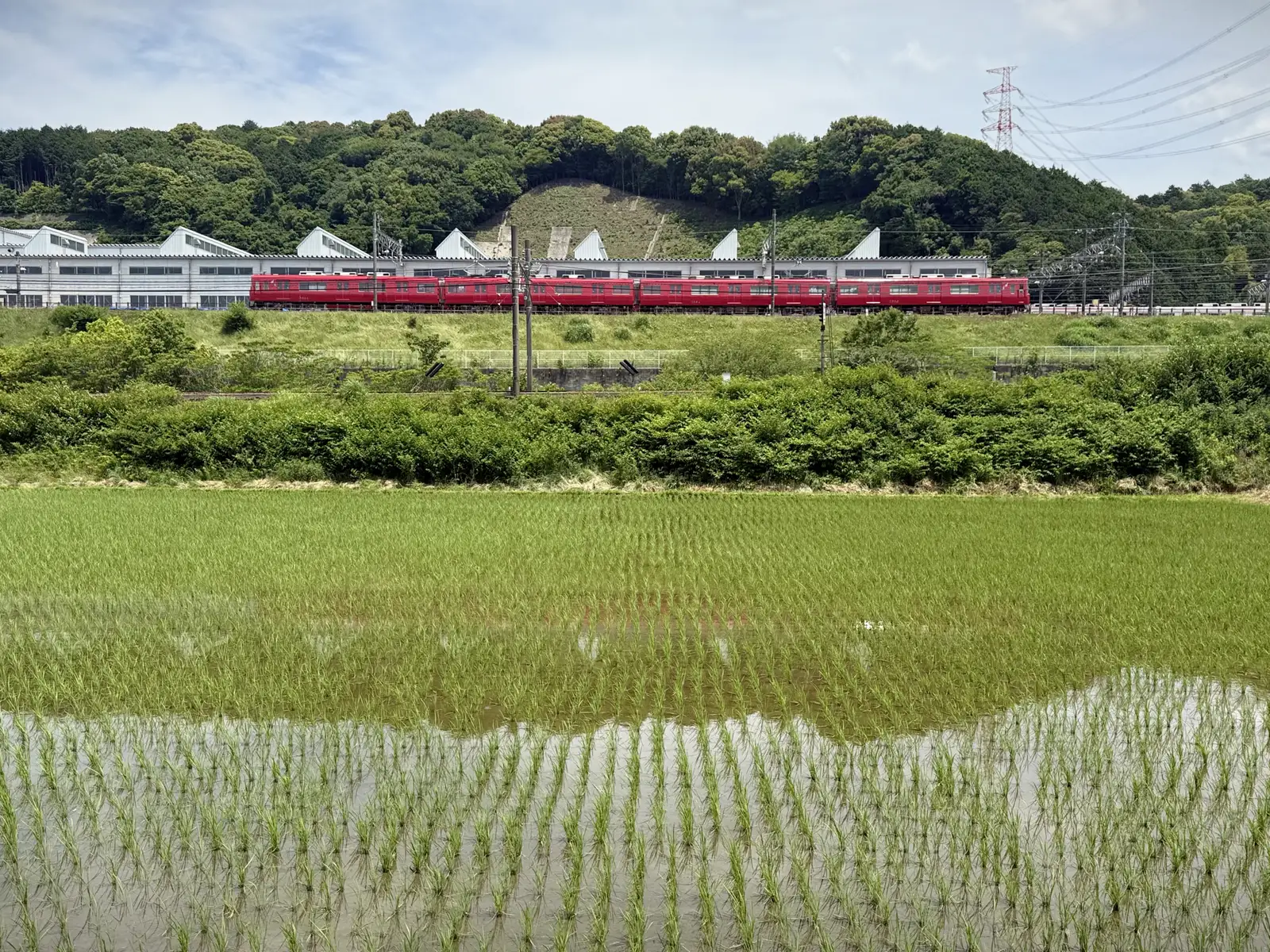
On the outskirts of Okazaki, something caught my eye out in the fields: a red train parked at some facility, standing out against all the green. My route ran right past it. This was the Maigi Inspection Yard, where Meitetsu (the Nagoya Railroad) brings its trains for dismantling, inspection and repair. It opened in 1997, and it sits with thick forest right at its back.
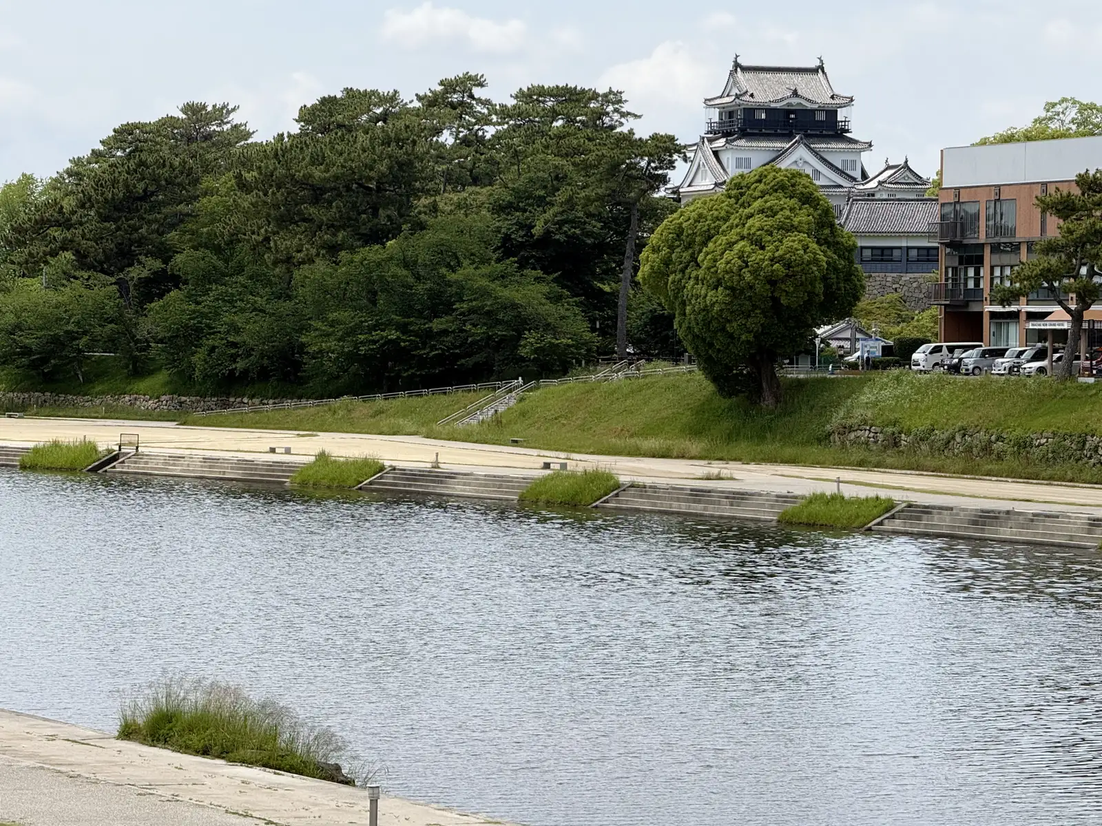
In the center of Okazaki I passed the castle. It is a historically significant place: this is where Tokugawa Ieyasu was born in 1543, the first of the Tokugawa shoguns, whose family went on to rule Japan for the next two and a half centuries. What stands there now is not the original, though. That one was demolished in the 1870s, when the new Meiji government was clearing away the country’s old feudal castles. The castle you see today is a concrete reconstruction from 1959, and now it’s a local history museum.
From Okazaki the road ran on through more towns and suburbs, Chiryu and Toyoake. By now I’d noticed how many places around here start with “Toyo.” I’d set off from Toyohashi, ridden through Toyokawa, and was passing Toyoake, with Toyota, the famous one, located just to the north. Coincidence, or is there something to it? A bit of both, as it turns out. They nearly all share the same character (豊), meaning abundant or bountiful, a lucky word that Japan sprinkles over place names everywhere. The individual stories still differ, though. Toyohashi was renamed from Yoshida in 1869, the new name meaning “abundant bridge,” after the long bridge over the Toyokawa. Toyota is the strange one. That city was called Koromo until 1959, when it took the name of its biggest employer, the car company. So its “Toyo” comes from a surname, by way of a car, and not from the land at all.
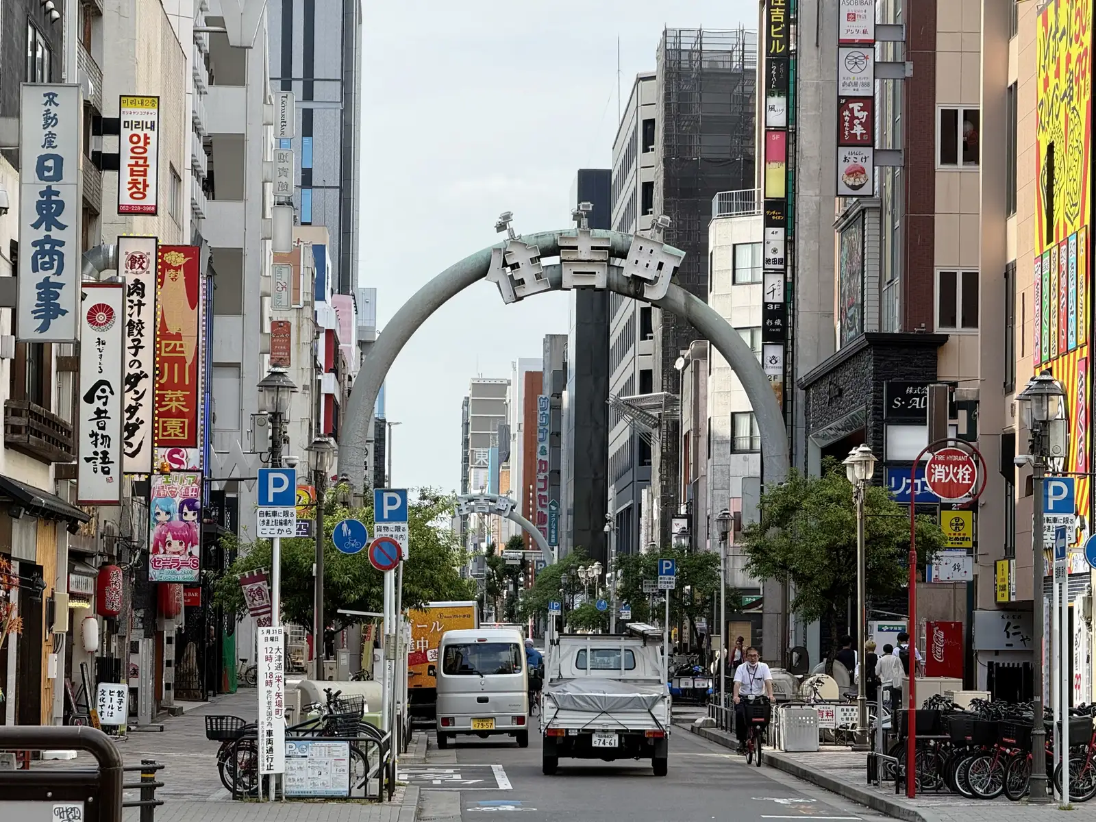
Eventually the suburbs gave way to the edges of Nagoya, and then the center. I came in through Osu first, with its long covered shopping arcades, and then Sakae, the downtown core, where my Travelodge hotel was.
The ride had been shorter than usual, so with time to spare in the late afternoon I walked back down through both. I had work to catch up on too, and stopped at a Starbucks (much easier to find a free seat here than in ultra-crowded Tokyo, by the way), put in a few hours on my MacBook, then headed back.
The next day’s forecast showed rain moving in later on. My planned route would have taken me over the Imasu Pass toward Maibara in Shiga, and going uphill always eats up more time than flat ground. So rather than get caught halfway up when the rain arrived, I decided to keep the day short: stop somewhere in Gifu, just before the pass, and wait for it to clear before crossing. That pass had outlasted four centuries of travelers. It could wait one more morning for me.