Tokyo to Kyoto by E-Bike, Day 2: Odawara to Shizuoka, in Search of an Invisible Mt. Fuji
Same distance as Day 1, a lot more uphill, and a couple of things I hadn’t planned for: a route that tried to send me through a military training ground, and a Mt. Fuji that stayed hidden the whole way past it. Then down through the tea fields of Shizuoka to the coast.
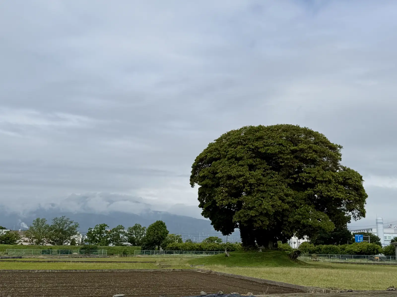
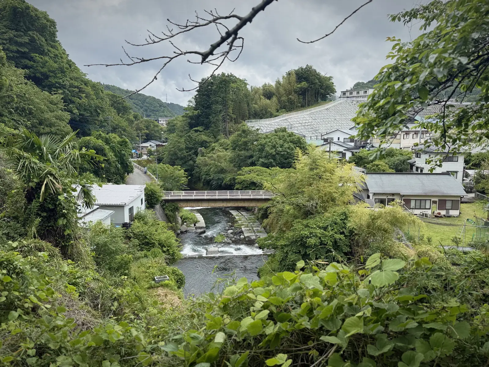
Last night did not rain. I left the hotel early in the morning and rode northwest, following the Sakawa river. For a while the road ran flat through farmland, tilled fields on either side, and here and there a huge old tree standing alone at the edge of a field. No traffic, no hurry, just the fields, the birds, and the river in the early light. A pheasant darted across the road in front of me. I fumbled for my phone, too slow, and he disappeared into the brush before I could snap a shot. Further on, I could see the forested mountains ahead, with fog still hanging on the slopes. I’d cross through a valley between them, but the climb was still waiting for me.
In that area is also Minamiashigahara, where I’ve been twice in the past to see Daiyuzan Saijoji, hands down the most impressive temple I’ve visited in Japan. It’s almost hidden up in the mountains, surrounded by massive cedar trees, guarded by intimidating tengu statues and the largest geta in the world. The first time I went, I arrived at six in the morning and could hear the priests chanting and the temple bell. It’s also where I got my first goshuincho (the book for collecting goshuin stamps from temples and shrines). It’s embossed and silver-looking, with the temple’s long stairway on the cover and a tengu on each side. Feels like a piece of art itself. You can read my older post about this temple here. This time, though, I rode past it, my route taking me further north toward Yamakita.
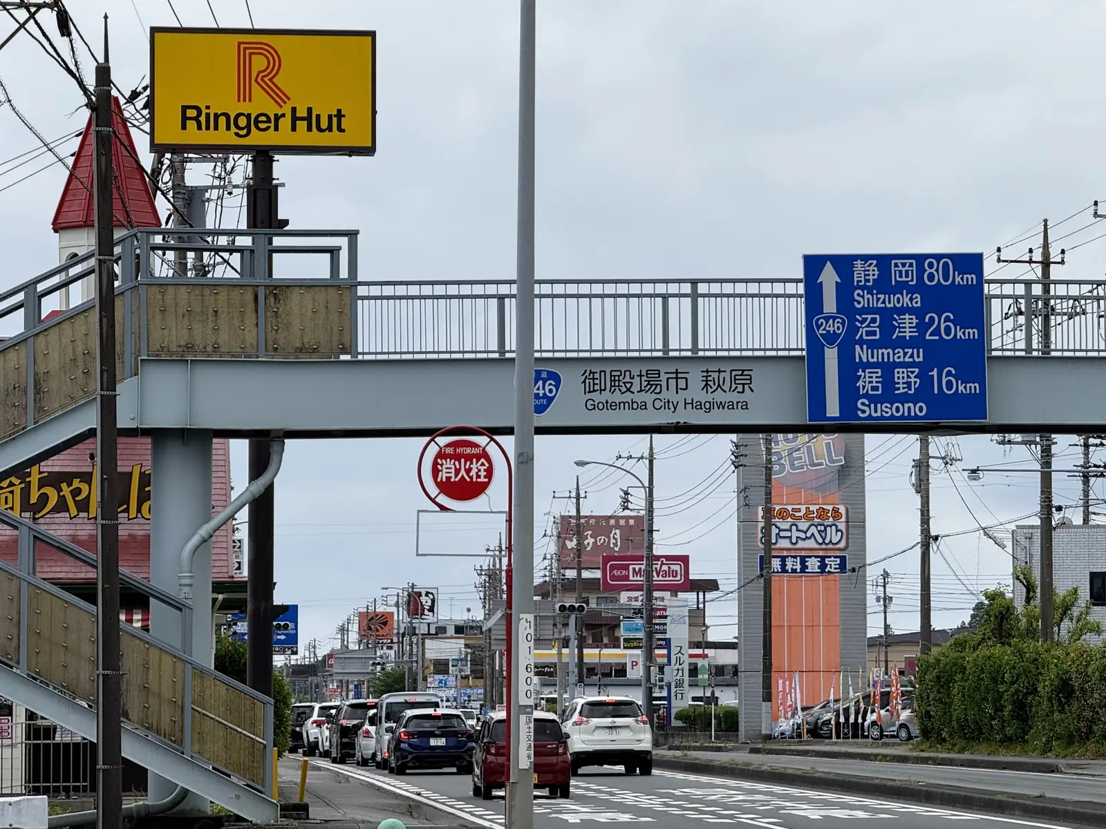
Day 2 was a massive upgrade from the first day. About the same distance, but a lot more steep slopes, and a couple of surprises I’ll get to later. My route would take me through the corridor between Mt. Fuji and Mt. Ashitaka. I reached Gotemba around noon and finally stopped to rest and get lunch at a Coco’s family restaurant. Funny how Coco’s turns up in every countryside town in Japan, always conveniently placed. And these family restaurants are all oddly identical, same menu, same taste, same masked staff greeting you with the same lines, wherever you are. You just know what to expect. There’s something comforting about that when you’re far from home.
I’d been pedalling uphill for a while, so just in case, I charged my bike battery at the restaurant (though it probably wasn’t necessary). Gotemba has tons of shops and restaurants and is famous for its outlet mall. But I had no time to buy a new Coach bag, and who’d want to carry extra stuff on a bike while trying to cross mountains?
Recharged, I hit the road, with a fair bit of uphill still ahead. I’d taken this route through Gotemba, rather than further south across the neck of the Izu peninsula, because I wanted to see Mt. Fuji on the way. But as luck would have it, the day was fully overcast. Even within a few kilometers of the mountain, I couldn’t see one bit of it. That’s how low the visibility was. That elusive Mt. Fuji! The further away you are, the better you see it. From Tokyo, clear as day. Up close, gone like magic.
Now, to that first surprise I mentioned. After leaving Gotemba and passing through more fields and forests, I reached the top of a hill, an intersection. On my left stood an old concrete dome-shaped bunker, clearly long out of use. Across the road, a sign prohibiting entry to unauthorized personnel, and next to it, another prohibiting drones. Well, perfect. As I stood there checking my phone, a few military trucks rolled out from the road ahead. They were probably wondering what I was up to. I kept my eyes on the phone and tried to look like a lost tourist, not someone casing a military base.
Then a recorded voice crackled out from a speaker by the entrance across the road, in Japanese, warning against entering the area. I couldn’t make out every word, but the meaning was clear enough. Was it on a loop, playing every few minutes regardless? Or had someone seen me on a camera and switched it on? No idea. Either way, the message landed. All around, no cars, no people, no houses. Just a vast hill of tall grass, the bunker, and those damn signs.
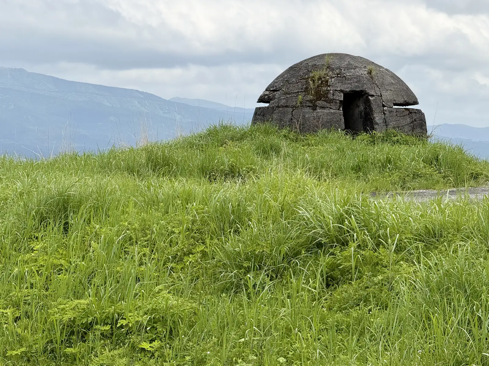
This was the spot I’d been worried about. Back when I planned the route, Komoot had wanted to send me straight through a military training ground, the Japan Ground Self-Defense Force’s East Fuji Maneuver Area. I’d been suspicious about why it showed as passable, but I followed it anyway. Maybe it’s an actual through road, I’d thought, naively. It was not.
What now? The only way forward was the road crossing in front of me. I studied the map a bit and found a new route that went around the maneuver area without adding too much distance. I punched in a new destination and took off. That whole hill, military zone on one side, empty in every other direction, was an uneasy place to stand. But I got around it, and the detour barely cost me anything. And I got a nice rollercoaster ride down the slope as a bonus.
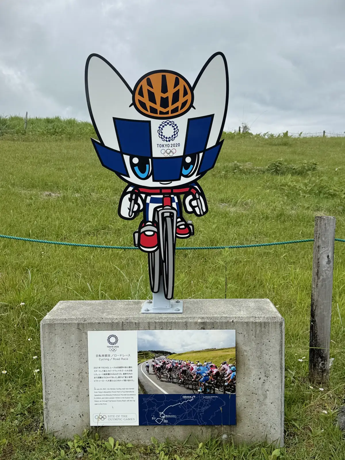
The climb ahead was the toughest slope yet, cutting mostly through forest. Near the top, I stopped at a curious spot. The first thing I noticed was a cutout of Miraitowa, the Tokyo Olympic mascot, on a bike. It turned out to mark the road where the Olympic cycling road race had passed. The memorial reads: ‘On July 24, 2021, the Olympic Cycling Road Race started from Tokyo’s Musashino Forest Park to Fuji International Speedway in Shizuoka Prefecture. The total race distance is 244km, and riders passed 19.2km in Susono City. Riders ran through “Fuji Susono Victory Road,” with Mt. Fuji seen to the front.’
So these guys pedalled through these same hills. And without a motor to cheat. You’d have to be superhuman. And just as that thought was crossing my mind, a low rumble of thunder rolled in from the distance. Except it wasn’t thunder. Artillery, or some kind of live fire, coming from the direction of that training area I passed earlier. Great. Nothing like distant gunfire to keep you pedalling. As long as a missile doesn’t fall on me, I’ll be fine, I thought, and pushed on uphill, further west. After about 880m of climbing, all that was left was the descent, the best reward there is for grinding uphill long enough.
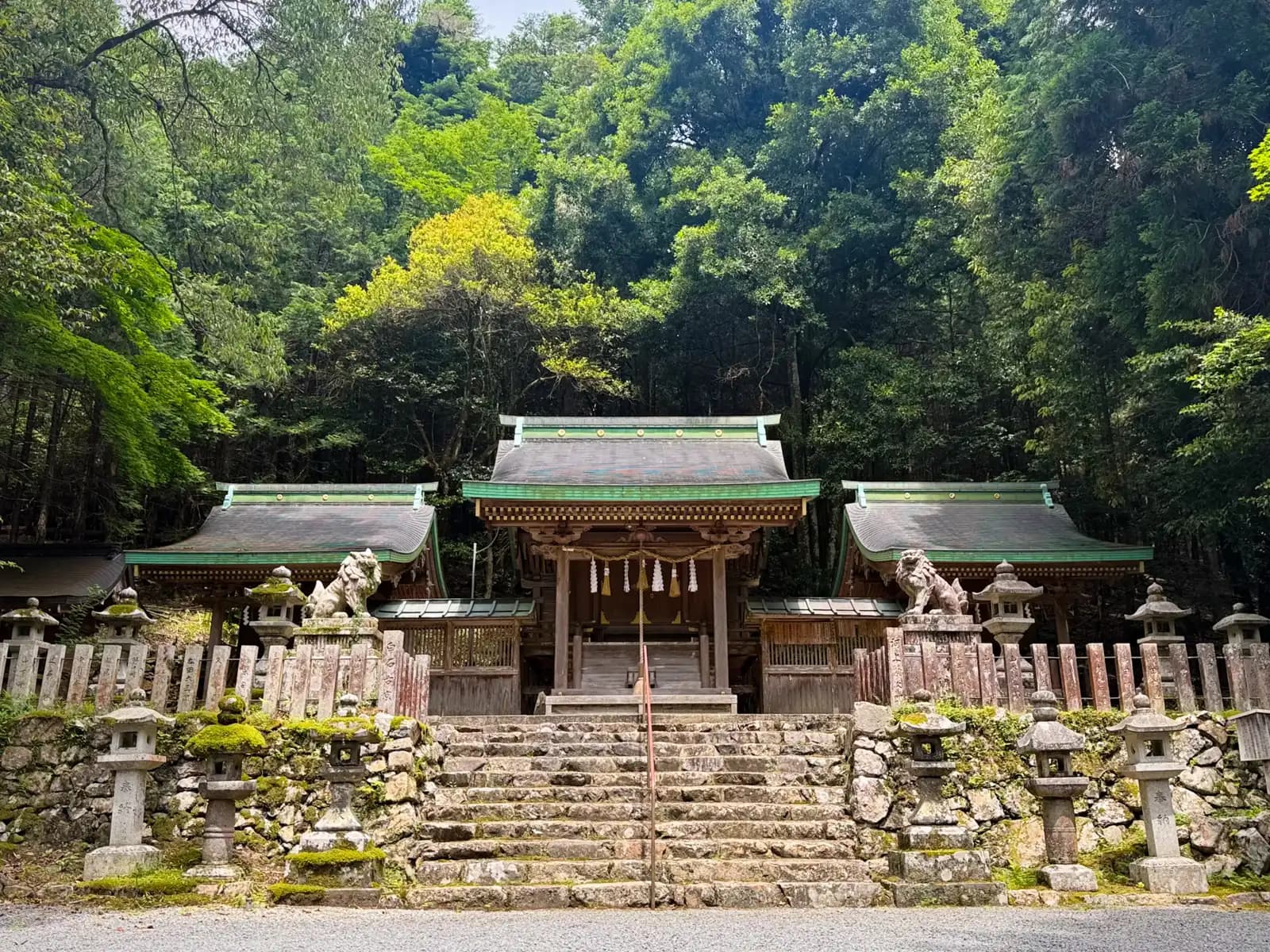
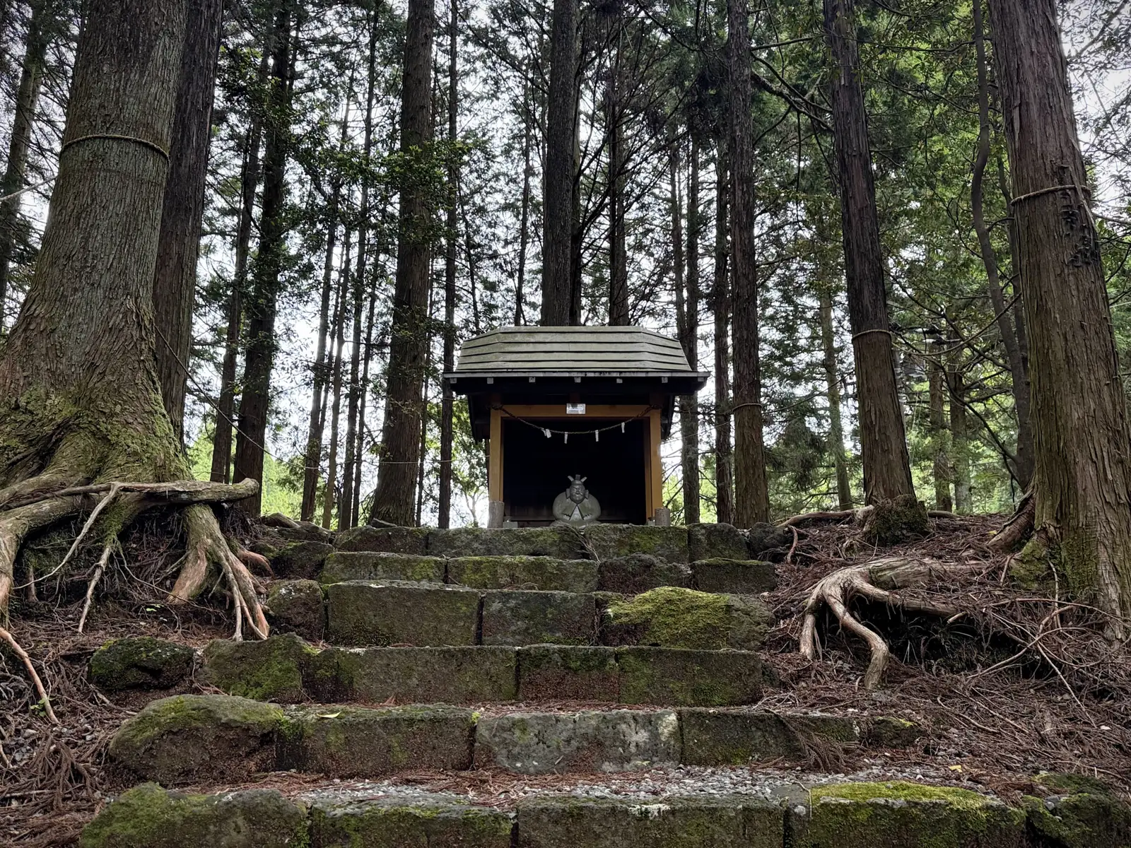
Somewhere along the way I passed a small shrine on stone steps among the cedars, with a sitting figure inside. No one around. Just it and the trees.
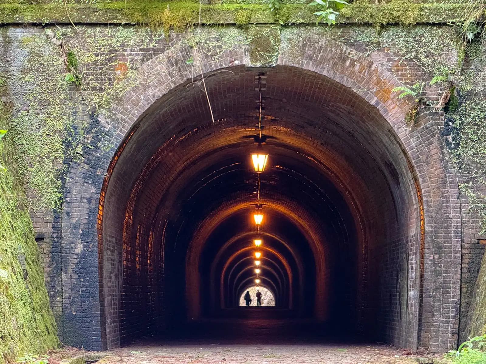
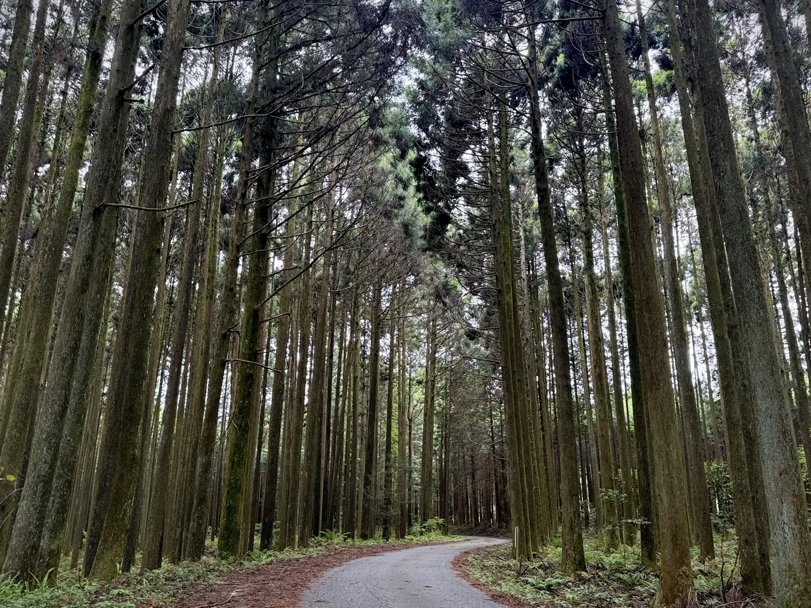
For a while the road wound down through tall cedar forest. It was dead quiet up there. No traffic, no planes overhead, no sound at all except the birds. A silence you don’t often find even deep in the countryside.
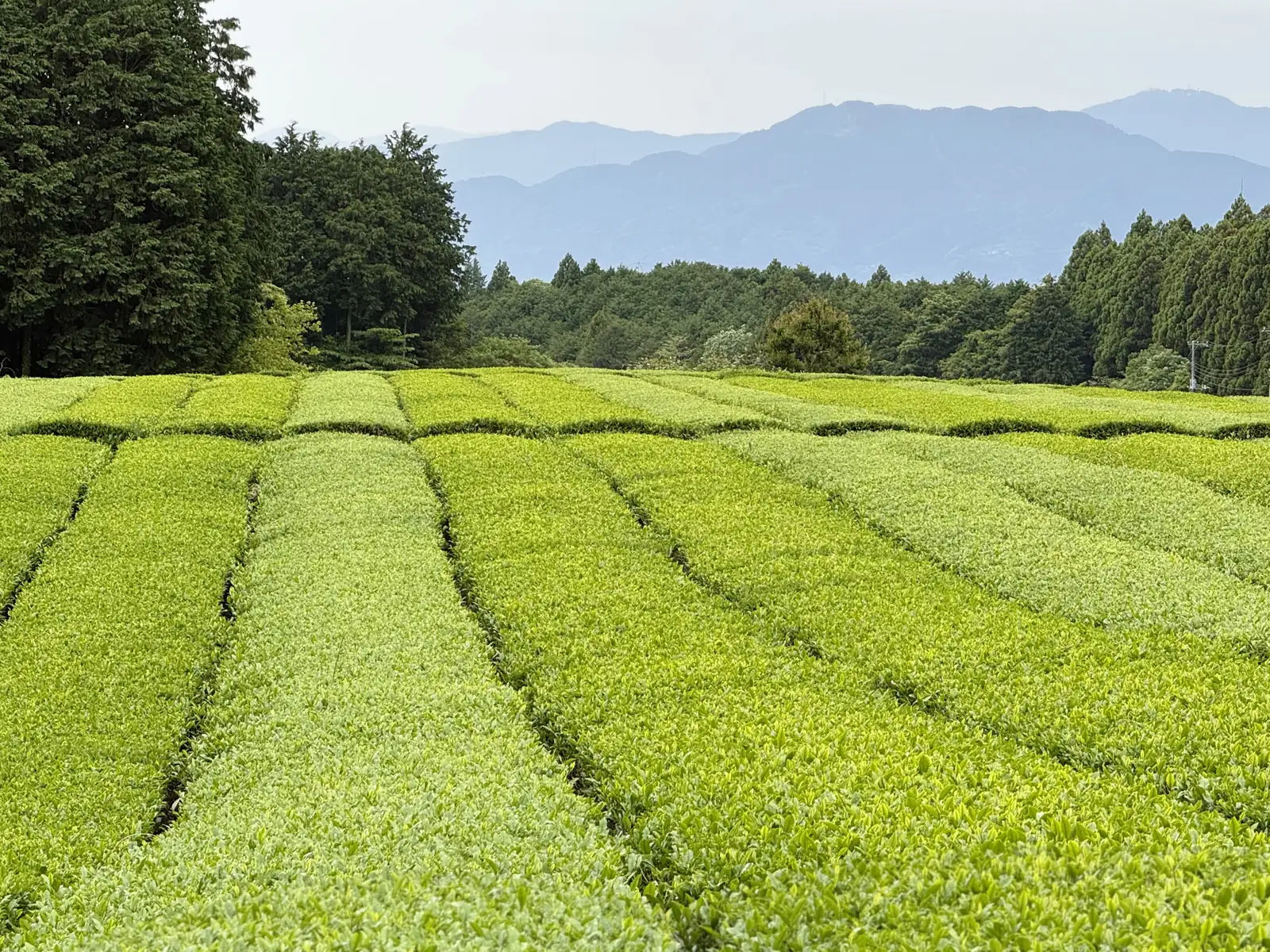
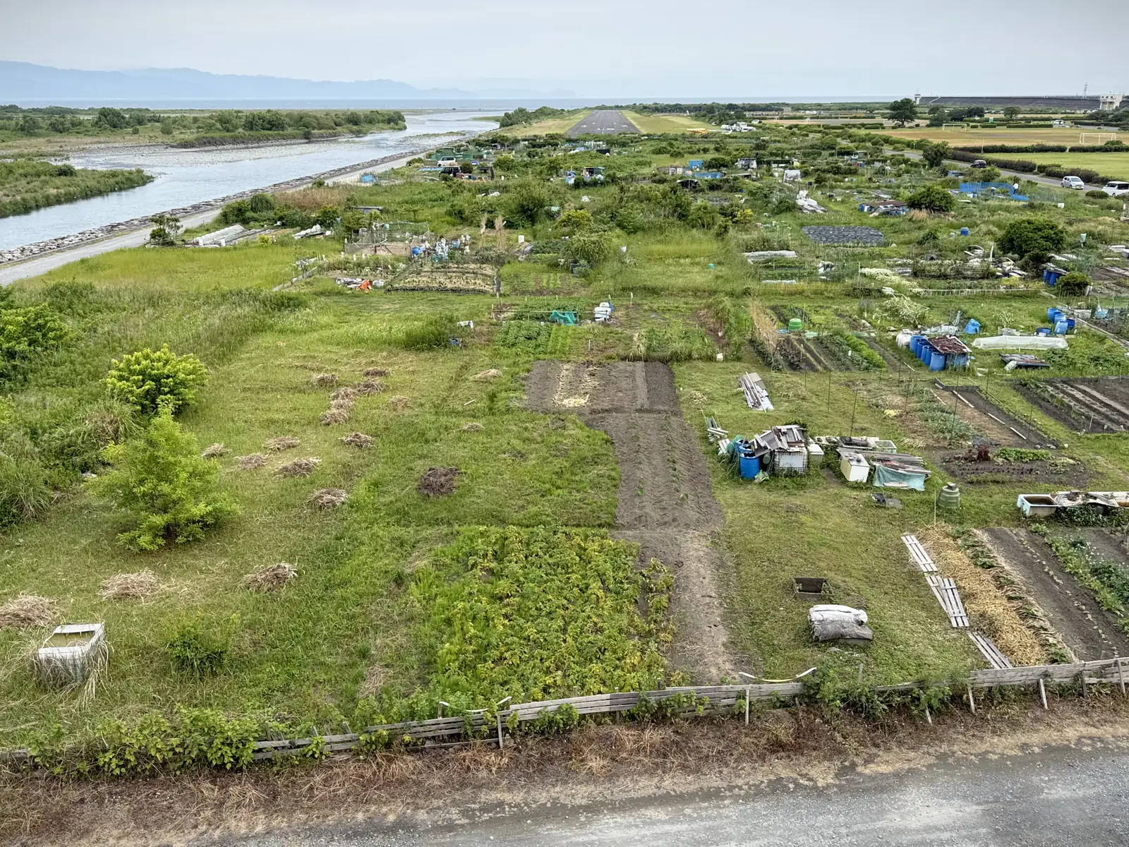
Out of the forest, I was deep in Shizuoka Prefecture’s tea country, greeted by plantations and plantations of green tea. Shizuoka is famous for it, and this was my first time seeing that many up close. Orderly rows of bushes everywhere, each one trimmed so neatly on top they looked like they’d just come back from the barber.
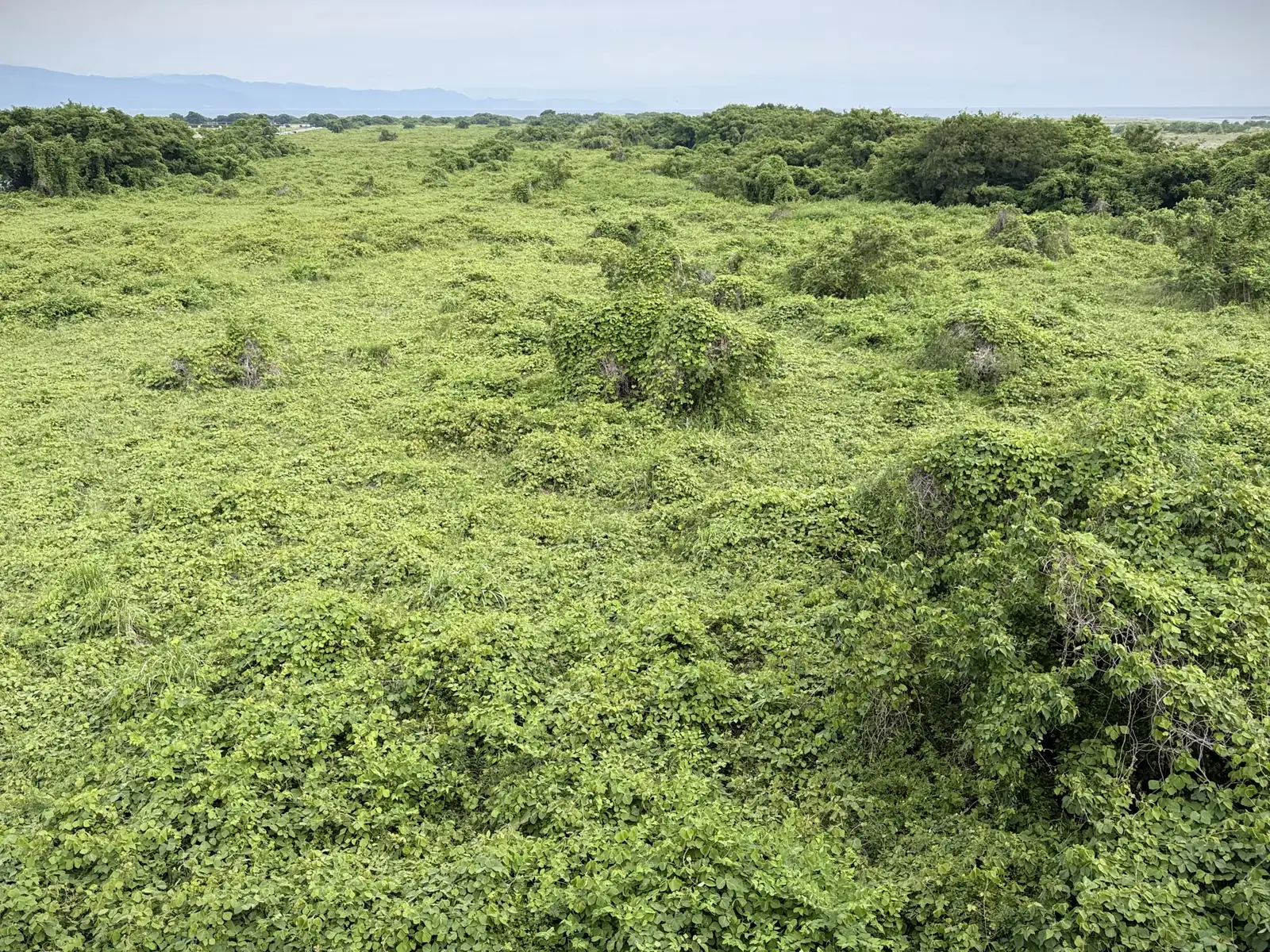
But this was where the second surprise of the day waited (the first being the military zone). Once again, Komoot confidently pointed me down a shortcut between the tea plantations. I took it, and the path went from gravel, to grass, to full-on forest. I stopped to check, half-sure Komoot had made it up, but the satellite view backed it up. The path was real. It just looked like nobody had used it in a couple of years. It was barely visible.
I took it anyway. According to the map it was only about 200 meters on foot. But in places the growth was so thick I had to carry the loaded bike, stepping over fallen tree trunks. It was still broad daylight, but under the cedars the forest went dark. Just don’t run into a bear, or some angry old farmer, I thought. Japanese farmers can be touchy about people near their fields, and here I was walking right alongside the tea bushes. It felt like trespassing, even though technically it wasn’t. Just a lost cyclist in the middle of a tea plantation, trying to get back to civilization, that’s all.
Finally the overgrown path spat me out onto a road. The place was a maze, a slope lined with tea plantations on both sides and a few fine old houses with the typical tiled roofs. And from up there, I could already see the ocean in the distance. Good!
As I rolled down the slope, I passed through the city of Fuji. Here’s a tip about Japan: if you want to know what a town is proud of, no need to look at brochures. Look down! The manhole covers will tell you. Many towns design their own, stamped with whatever local landmark, legend, or specialty they want to be known for. The ones in Fuji, fire hydrant covers in this case, had Mt. Fuji framed by bamboo, with a long-haired woman in flowing robes gazing across at it.
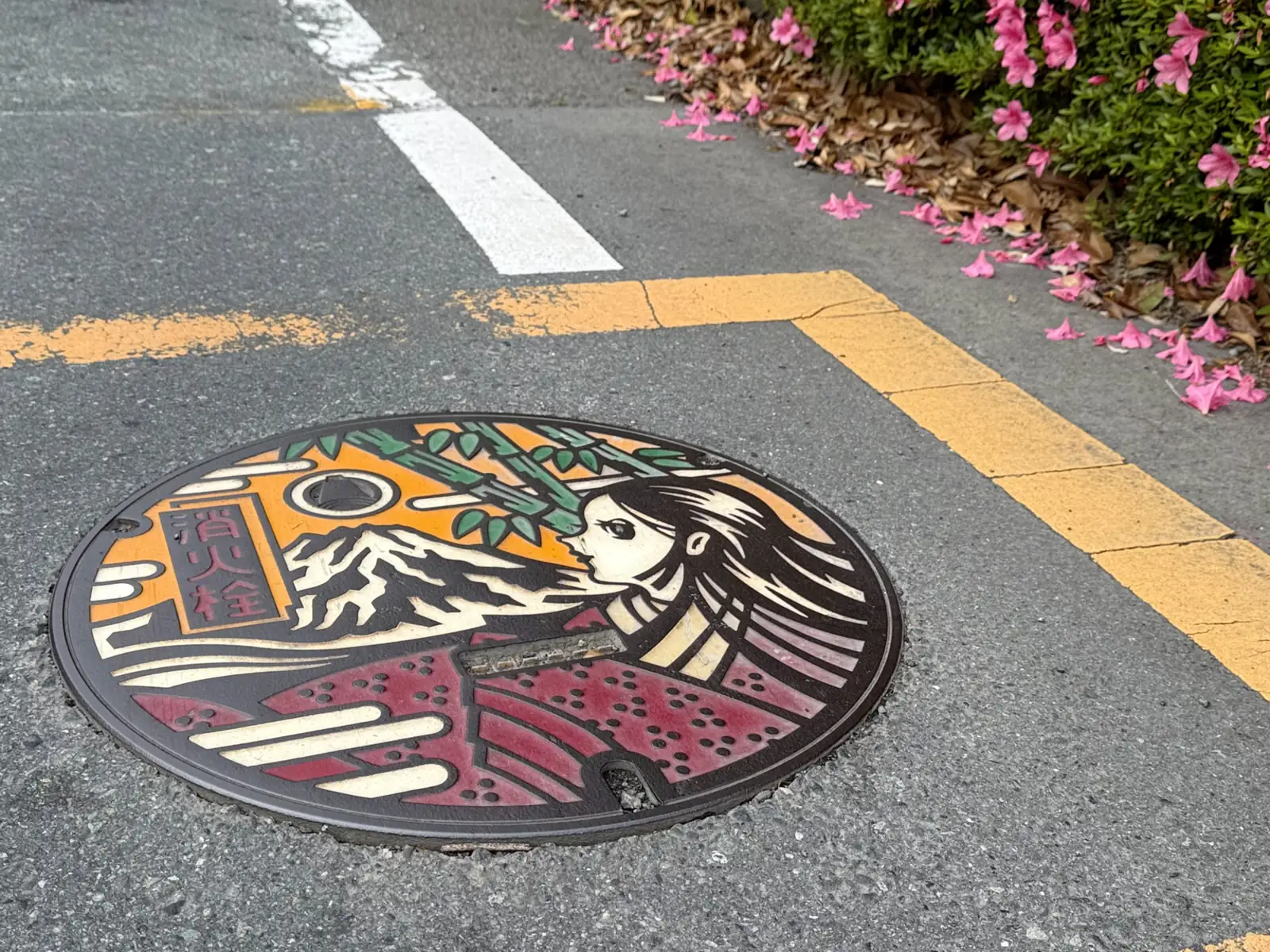
This is Princess Kaguya, from the Tale of the Bamboo Cutter, Japan’s oldest story: a girl found inside a glowing stalk of bamboo who turns out to be from the Moon and has to return there. And this is where Mt. Fuji enters the story. After she ascends, her parting gift is burned at the summit of the tallest mountain, and that mountain becomes Fuji. A nice thing to find under your wheels.
The river deltas in this region are vast, and you cross them on long bridges. What got me was how untamed they were, no concrete channels, just the river spreading out and the greenery taking over on its own terms.
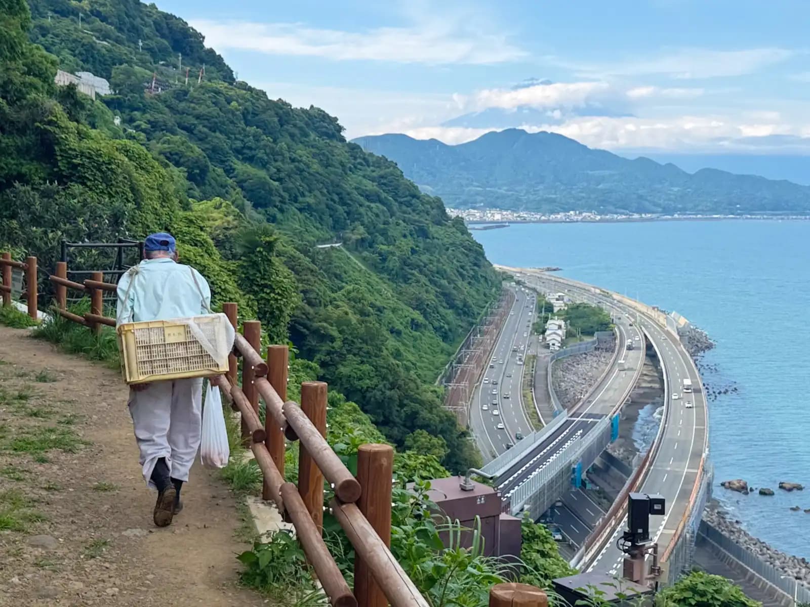
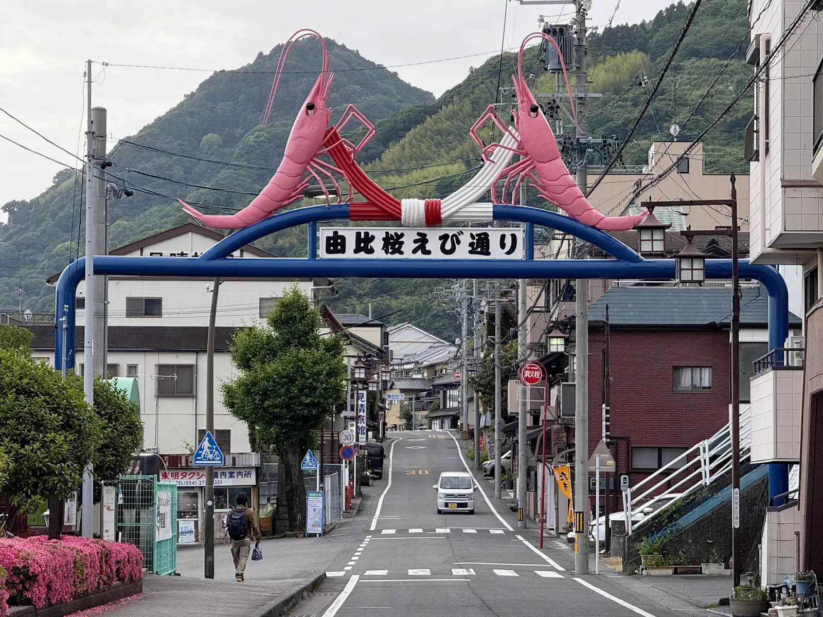
From Fuji I rode on through one small coastal town after another. The sea was there finally, flat and grey under the clouds, no postcard blue, but a welcome sight after all those hills. One of the towns I passed was Yui, which makes its living on sakura-ebi, tiny pink shrimp pulled from Suruga Bay, caught almost nowhere else. You don’t have to guess what they’re known for: two fascinating giant pink shrimp arch directly over the main street.
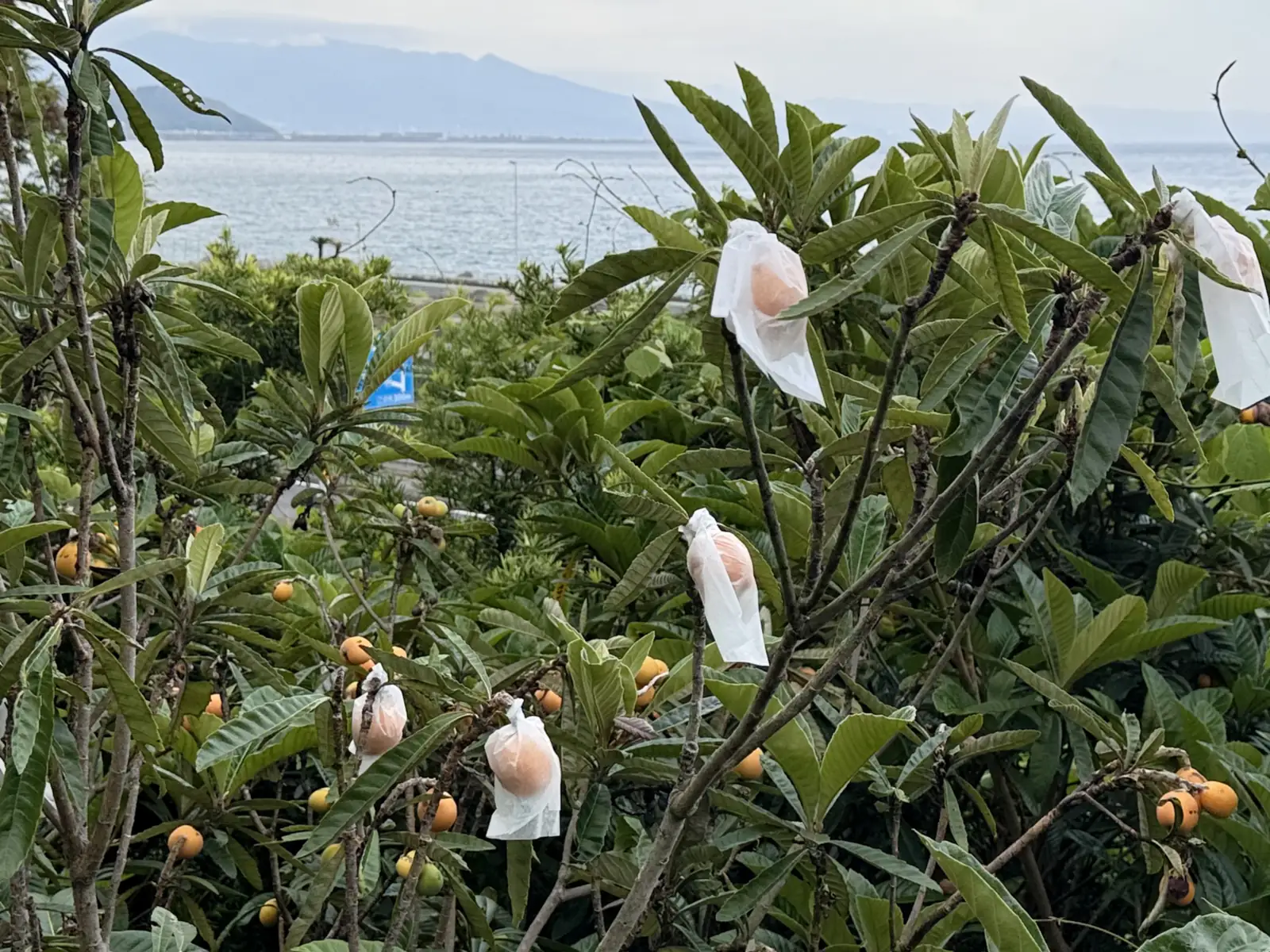
Along the way I passed loquat trees (or “biwa” in Japanese) with their fruit wrapped in little white paper bags. Each one bagged by hand. It’s a Japanese thing: the bags keep off birds, insects, and sun, so the fruit ripens unblemished and perfect. It’s the same impulse as the barbered tea bushes, an enormous amount of care spent making sure produce comes out flawless.
It was a long day, mostly thanks to the slopes, the military detour, and the forest shortcut. My thighs had turned to stone. I reached central Shizuoka around 8pm. Coming from Tokyo, I’m always surprised how empty these other cities feel. The way I entered, the outskirts had wide roads, wide sidewalks, and wide open spaces around the buildings. And it was quiet, almost no cars (which is fitting, since Shizuoka more or less means ‘quiet hill’). It’s no small town, but next to Tokyo it feels like everyone left. I finally felt some relief when I spotted the big APA hotel sign, where I’d be staying that night. Another hundred kilometers done, 144 to go the next day.