Tokyo to Fukui by E-Bike, Day 3: Down the Chikuma River and Up to Hakuba
Day Three of the ride to Fukui went from Komoro to Hakuba, and it came in two very different halves. The first was a lazy morning drifting down the Chikuma River, by way of a 400-year-old post town and a red railway bridge with a comeback story. The second was a long climb up the old Olympic route into the mountains, ending in a valley where the sun disappears behind the Alps not long after four in the afternoon.
The fog was only just starting to lift when the Beast and I rolled out of Komoro, a little before seven in the morning. It was Monday, but also Sports Day, the last day of the long weekend, so the town was still mostly asleep. The plan for the day looked simple enough on the map. Follow the Chikuma River downstream all the way to Nagano, then turn west and head up into the mountains to Hakuba, about 92 kilometers in total. And since rivers, as far as I know, only ever flow downhill, I had a feeling the morning was going to be kind to me.
About ten kilometers west of Komoro, in the town of Tomi, I turned off the main road and pretty much rode straight into a different century. Unno-juku is just one street, roughly 650 meters long, with old wooden houses on both sides, dark lattice windows, and heavy tiled roofs. A narrow stream runs right down the middle of it, with trees and little shrubs along its banks and flat stone slabs laid across it here and there, so people can get to their front doors. There were no cars, no flashing signs, nothing. Only a few people out for an early walk, and the sound of the water. All the shops were still closed at that hour, and with the holiday I don’t think they were in any hurry to open. I didn’t mind one bit, though. Having a place like this almost to yourself feels a little like sneaking into a museum before the doors open.
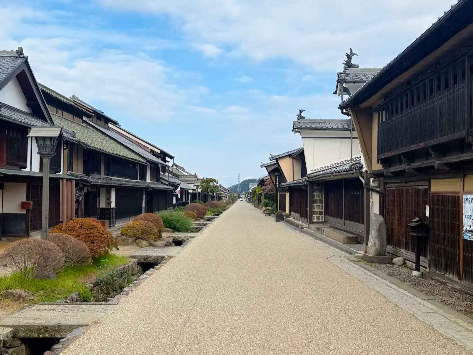
Unno-juku opened in 1625 as a post town on the Hokkoku Kaido, the road that connected the Nakasendo with the Hokurikudo along the Sea of Japan coast. It was a busy road, too. Gold from the mines on Sado Island traveled along it on its way to Edo, the lords of the Hokuriku domains marched through with their processions on their way to the shogun’s capital, and plenty of ordinary people walked it on pilgrimage to Zenko-ji temple in Nagano. There was already a post town right next door at Tanaka, but there were so many travelers that a second one was set up here. It helped that Unno already had a name for itself. Back in medieval times it was the home of the Unno clan, the most powerful family in eastern Shinano. The Sanada clan, the ones made famous by Sanada Yukimura and his red armor, traditionally claimed to have branched off from the Unno, although historians these days aren’t so sure about that.
Then the Meiji period came along and pulled the rug out from under the whole town. The post town system was abolished, the railway took the travelers away, and Unno-juku had to find a new way to make a living. It found one in silkworms. Those old inns had been built with big open rooms for sleeping lots of travelers, which turned out to be just right for raising silkworms, so the town switched to sericulture and to producing silkworm eggs. You can still see this if you look up at the roofs. Many of them have a small extra roof sitting on top, called a kinuki, which let out the smoke from the fires used to keep the silkworm rooms warm.
Between the houses, tall white plaster walls called udatsu stick up above the roofline. They started out as firewalls, to stop a fire from jumping from one roof to the next. Since they cost a lot to build, though, they soon became a way of showing off how well a family was doing, and that’s where the Japanese expression udatsu ga agaranai comes from. Literally it means “can’t raise your udatsu,” and it’s used for someone who never quite manages to get ahead in life. A few of the ones here even have little ornaments on top that look a lot like the fish you see on castle roofs.
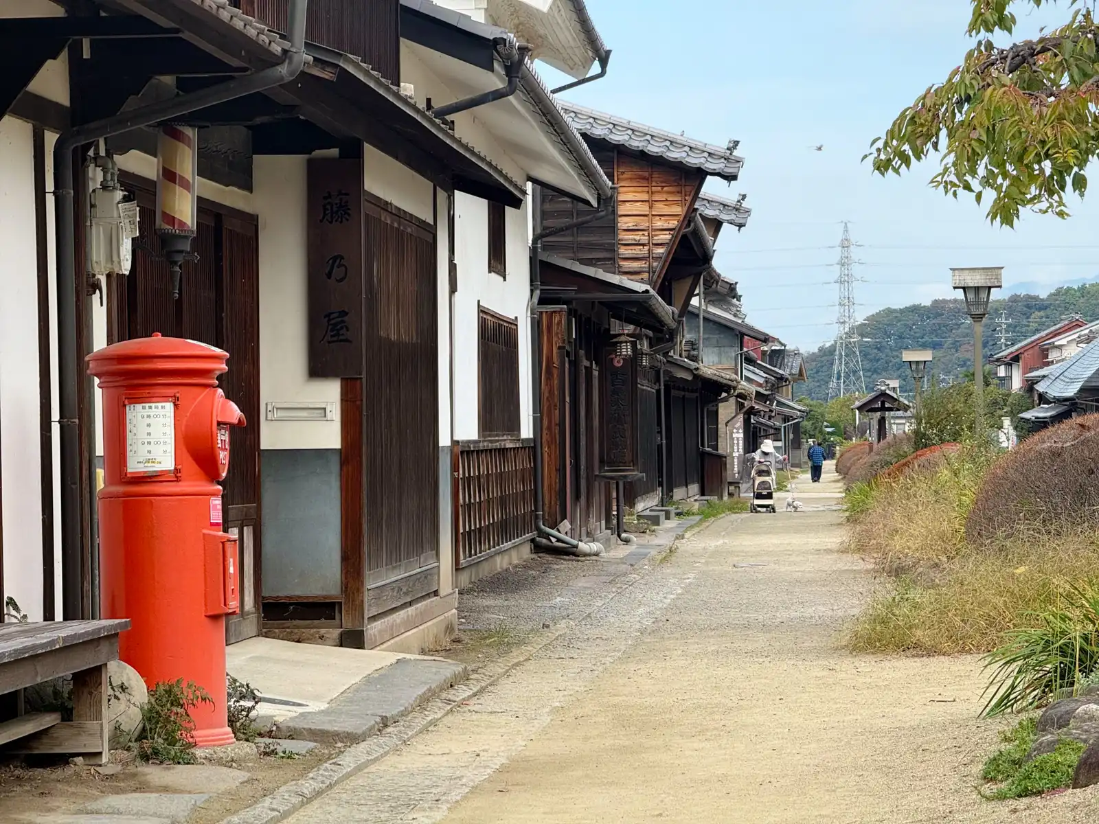
One of the oldest buildings on the street, an inn built around 1790, is now a small museum. Back then, travelers slept in shared rooms, lined up next to complete strangers after a long day of walking, which suddenly made my hotel the night before sound like a palace. In 1986 the street was chosen as one of Japan’s 100 best roads, and the following year it became a protected district for its traditional buildings. Last year it turned 400, and I have to say it looks pretty great for its age.
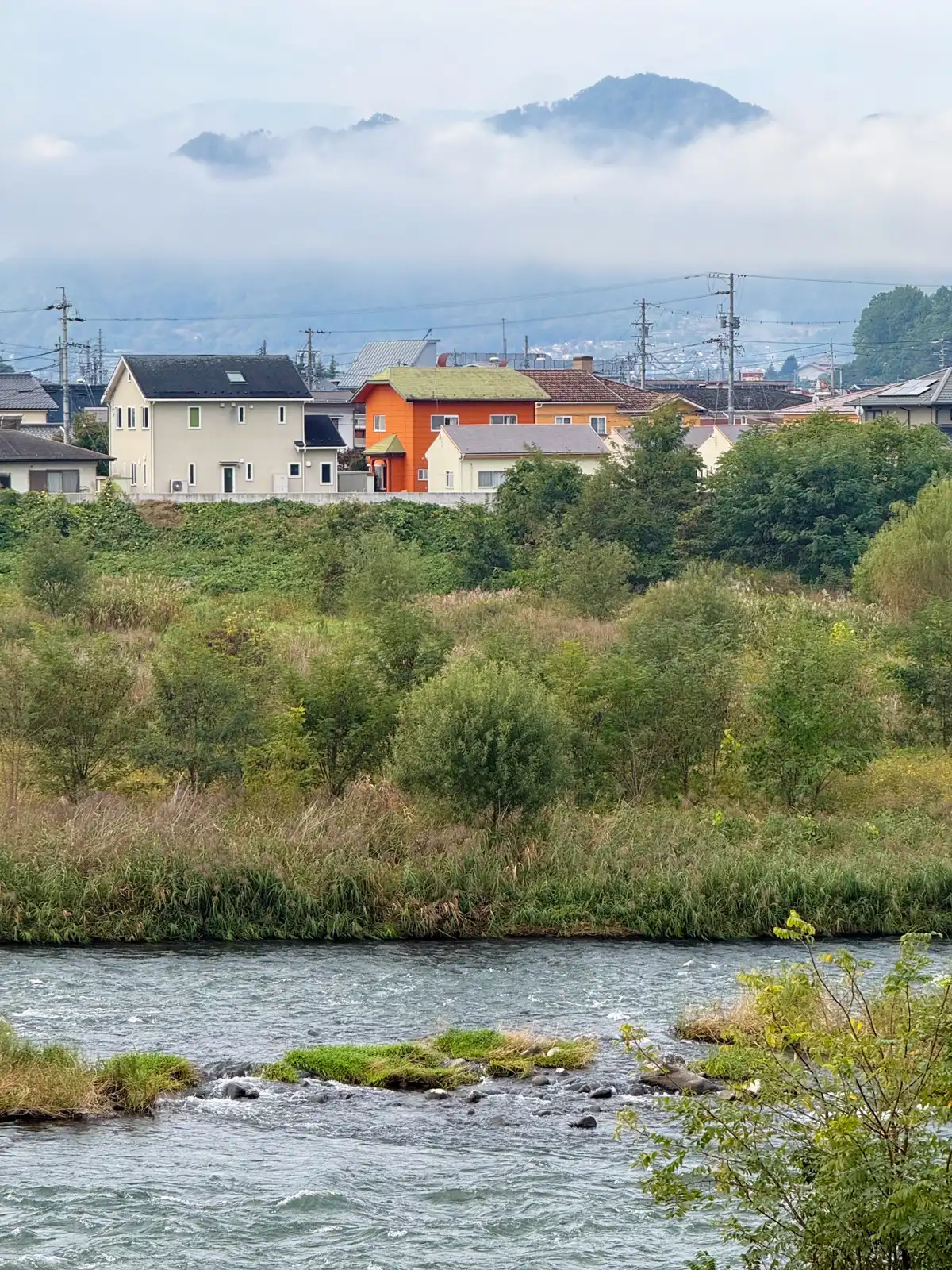
Not far past Unno-juku I dropped down to the Chikuma River, and for the rest of the morning it stayed right beside me. The Chikuma is really the upper part of the Shinano River, which at 367 kilometers is the longest river in Japan. It only gets to call itself the Shinano once it crosses into Niigata, though. Here in Nagano, everyone knows it as the Chikuma. The fog hadn’t completely given up yet, and it was lying in thick white layers across the hills, with just the tops of the mountains poking out above it like islands.
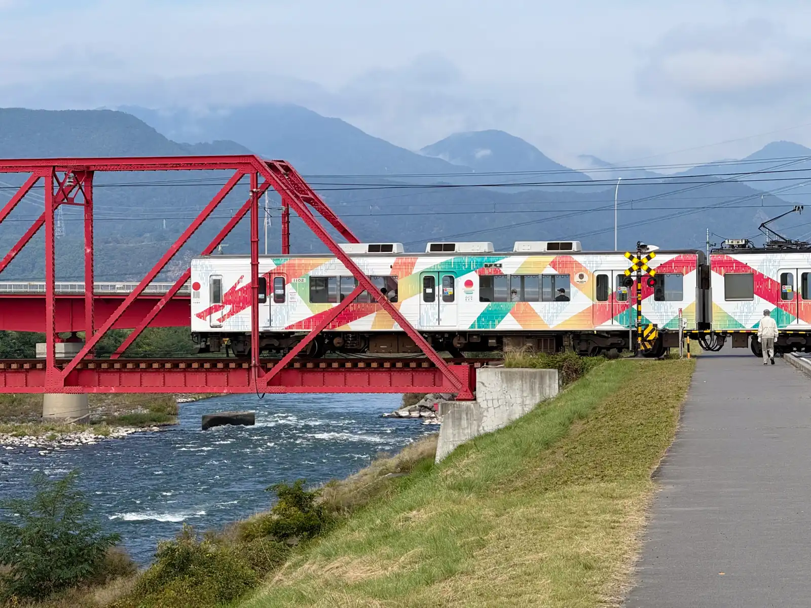
In Ueda, the old castle town, a bright red iron bridge carries the little Bessho Line across the river. I happened to get there just as a two-car train came rattling over it, covered from end to end in colorful patterns, and I couldn’t have timed it better if I’d tried. Locals call it the akai tekkyo, simply “the red bridge,” and it has had a rough few years. In October 2019, Typhoon Hagibis flooded the Chikuma. Part of the bridge collapsed into the river, cutting the line in two. With plenty of support from local people, the bridge was rebuilt, and trains started running across it again in March 2021, about a year and a half later. Around 80 percent of the original parts went back into it, so it’s still very much the same old bridge.
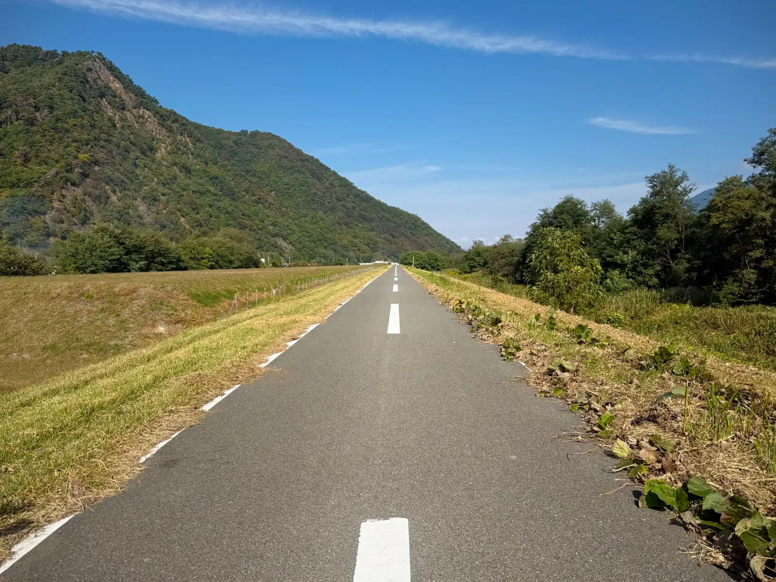
From there on, the riding was about as good as it gets. For long stretches there’s a proper cycling road along the top of the river embankment, smooth and well kept, with a dashed white line down the middle as if it were a real road, just a very skinny one. On both sides, tall, cone-shaped mountains rose straight up out of the valley, one after another, and since I was heading north, the sun was behind me all morning instead of shining right in my eyes. Hardly anyone else was out. It was so quiet that most of the time the only sound was the river rushing over the rocks somewhere below me.
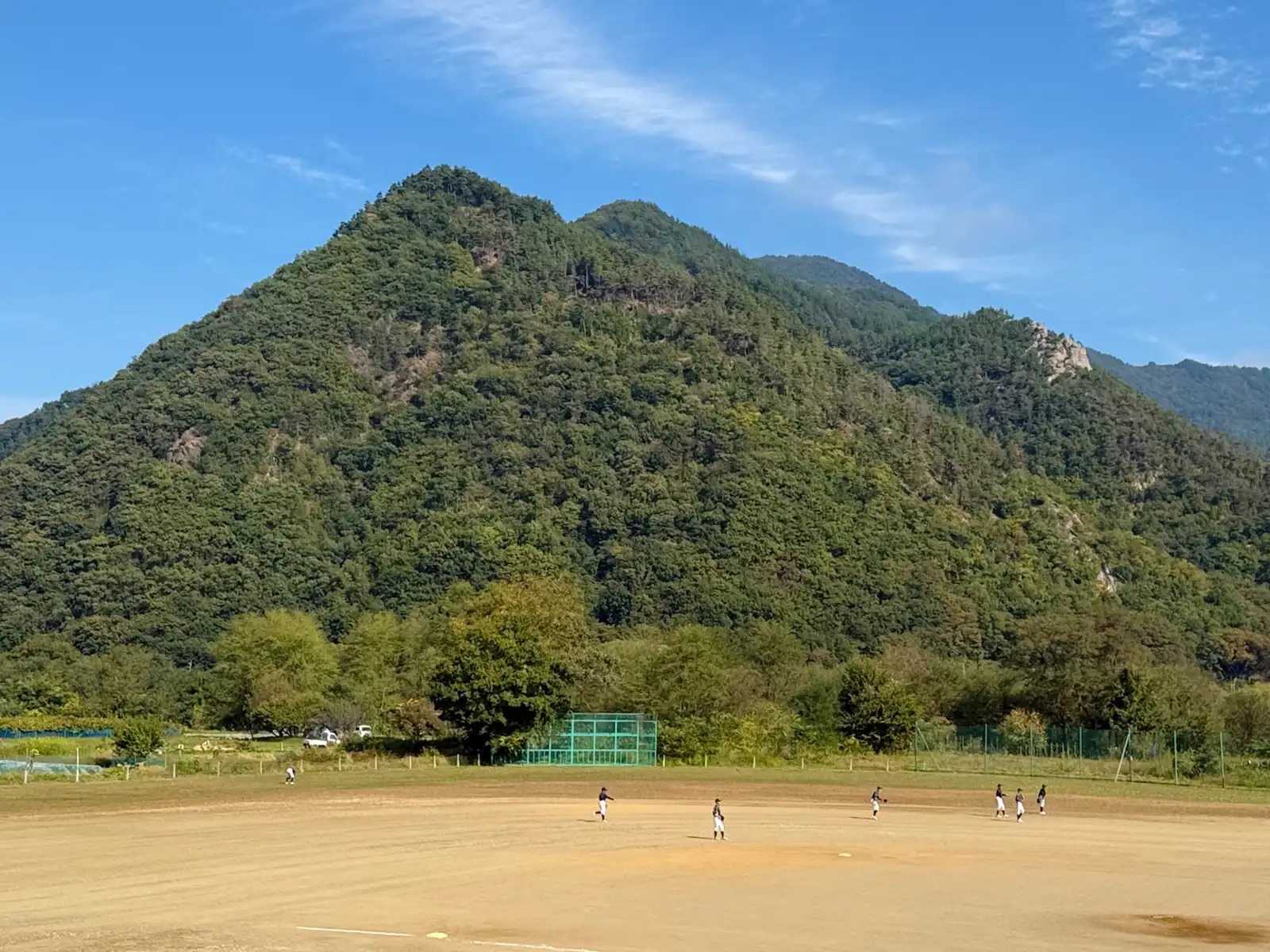
At one point the path passed a baseball field where a team was practicing, the players spread out across the dirt with a huge green mountain standing right behind them, like the world’s most dramatic outfield wall. I’d have loved to see someone try to hit a home run over that.
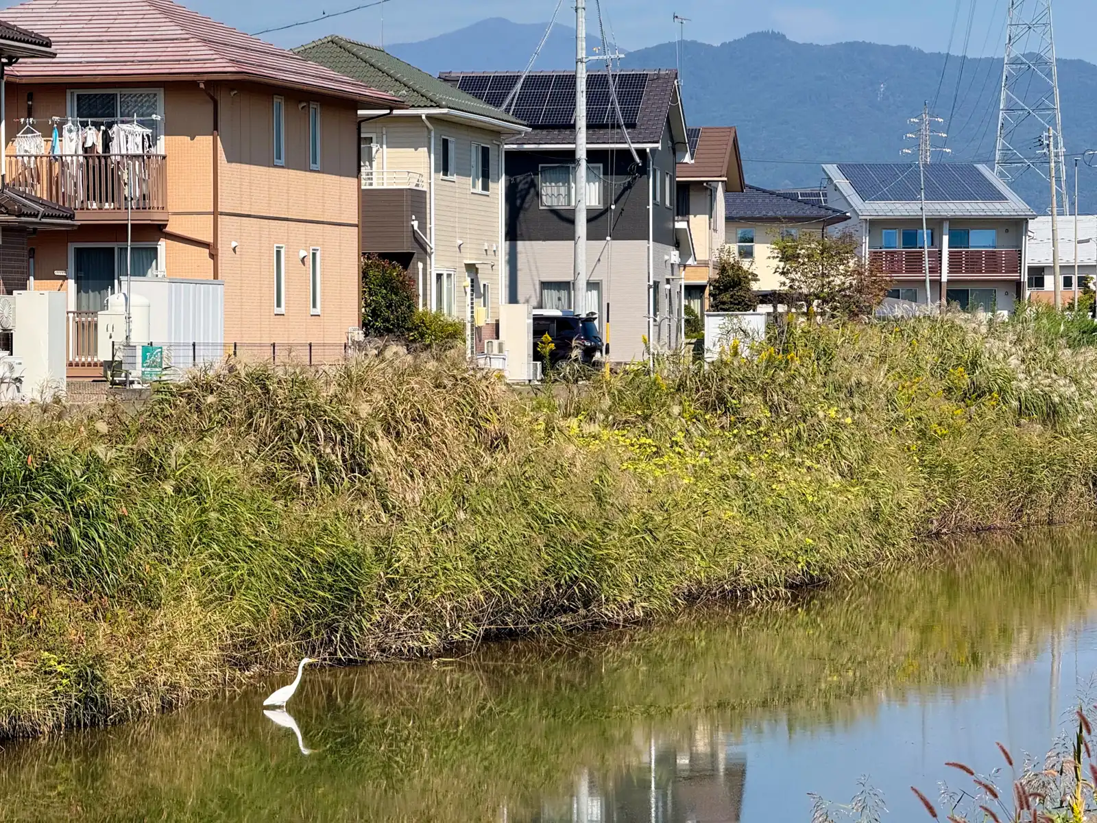
The closer I got to Nagano, the wider the valley became and the more houses started to fill it. In a canal running past one neighborhood, an egret was standing knee-deep in the water, completely still, staring at something only it could see. I stopped to take a picture, and it didn’t even bother to look up. Egrets have a way of making you feel like you’re the one interrupting.
I rolled into Nagano at around noon and stopped for lunch at a Gusto. Yes, another Gusto. If you read about Day One, you’ll know this is slowly turning into a tradition, and I’m not going to apologize for it. The whole morning, all the way from Komoro to Nagano, had used up only about five percent of the Beast’s battery. Riding downstream along a river, it turns out, is basically cheating. That was good news, because the easy part of the day was now officially over.
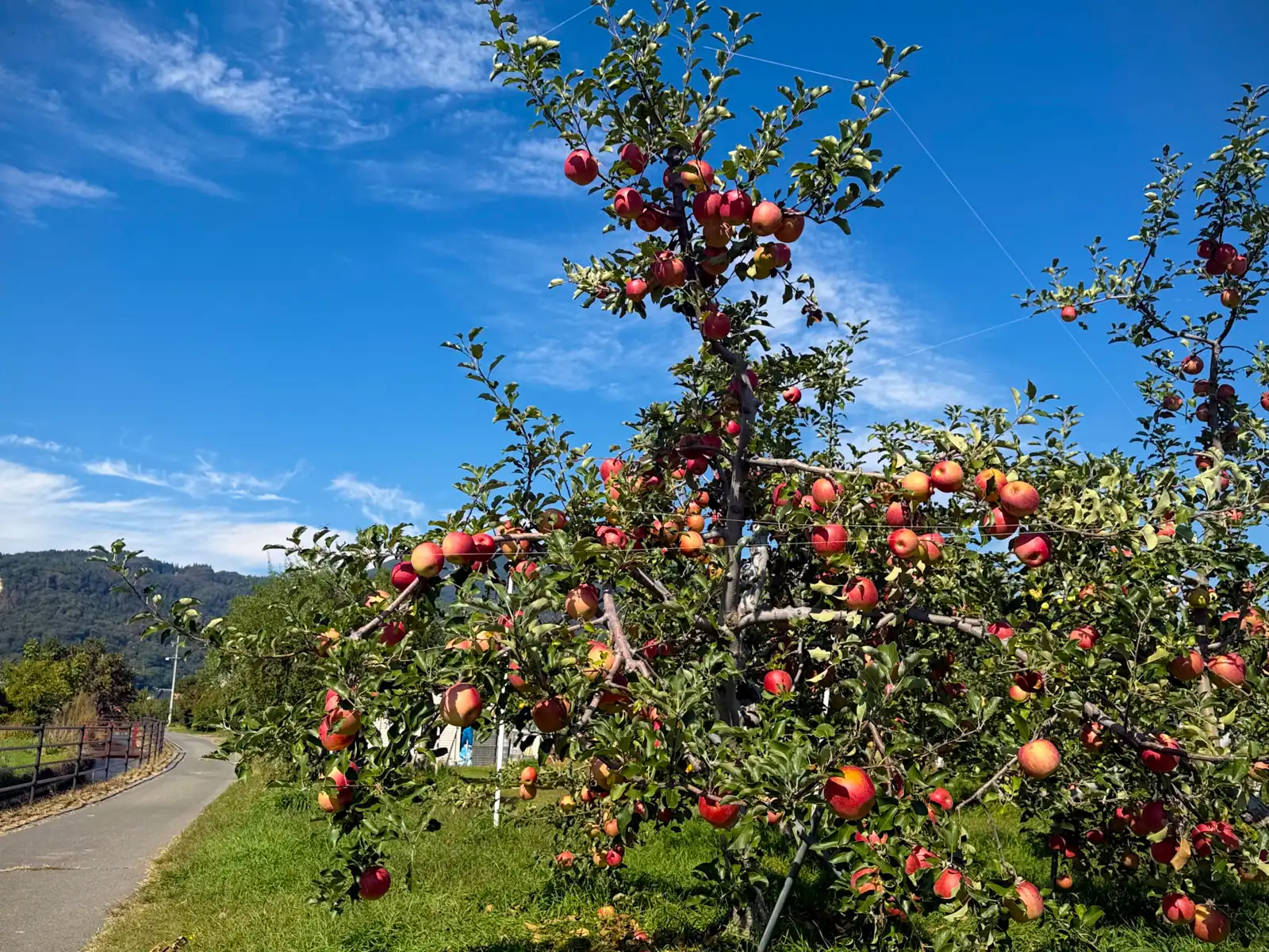
Not long after lunch, apple trees started showing up right beside the road, their branches so loaded with red fruit that some of them were being held up with wires. Nagano grows more apples than any prefecture in Japan except Aomori, somewhere around a fifth of the whole country’s harvest, so I suppose I shouldn’t have been surprised. I still stopped to stare at them, though, and I’ll confess the thought of just reaching out and grabbing one did cross my mind. I didn’t, in case you were wondering. The owner was probably watching from somewhere.
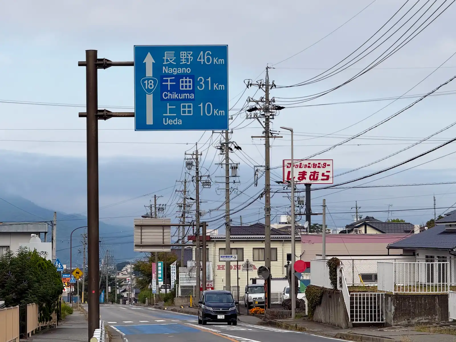
From Nagano I turned west onto what’s known as the Olympic Road, the nickname for the prefectural roads that link the city with Hakuba. The name is a leftover from the 1998 Winter Olympics, when Hakuba hosted the ski jumping and several other events. Up until then the whole day had been flat, but now the mountains began, and the road started going up and pretty much didn’t stop. It wasn’t steep, at least not in the way the Usui Pass had been the day before. It was more of a long, steady climb. Thanks to that lazy morning by the river, I had plenty of battery left to burn, so the Beast and I took it nice and easy. What I really liked about this road was that most of the time there was a sidewalk on one side, so I could ride a little away from the cars and pull over whenever I wanted to take a picture. Which, as you can probably guess by now, was quite often.
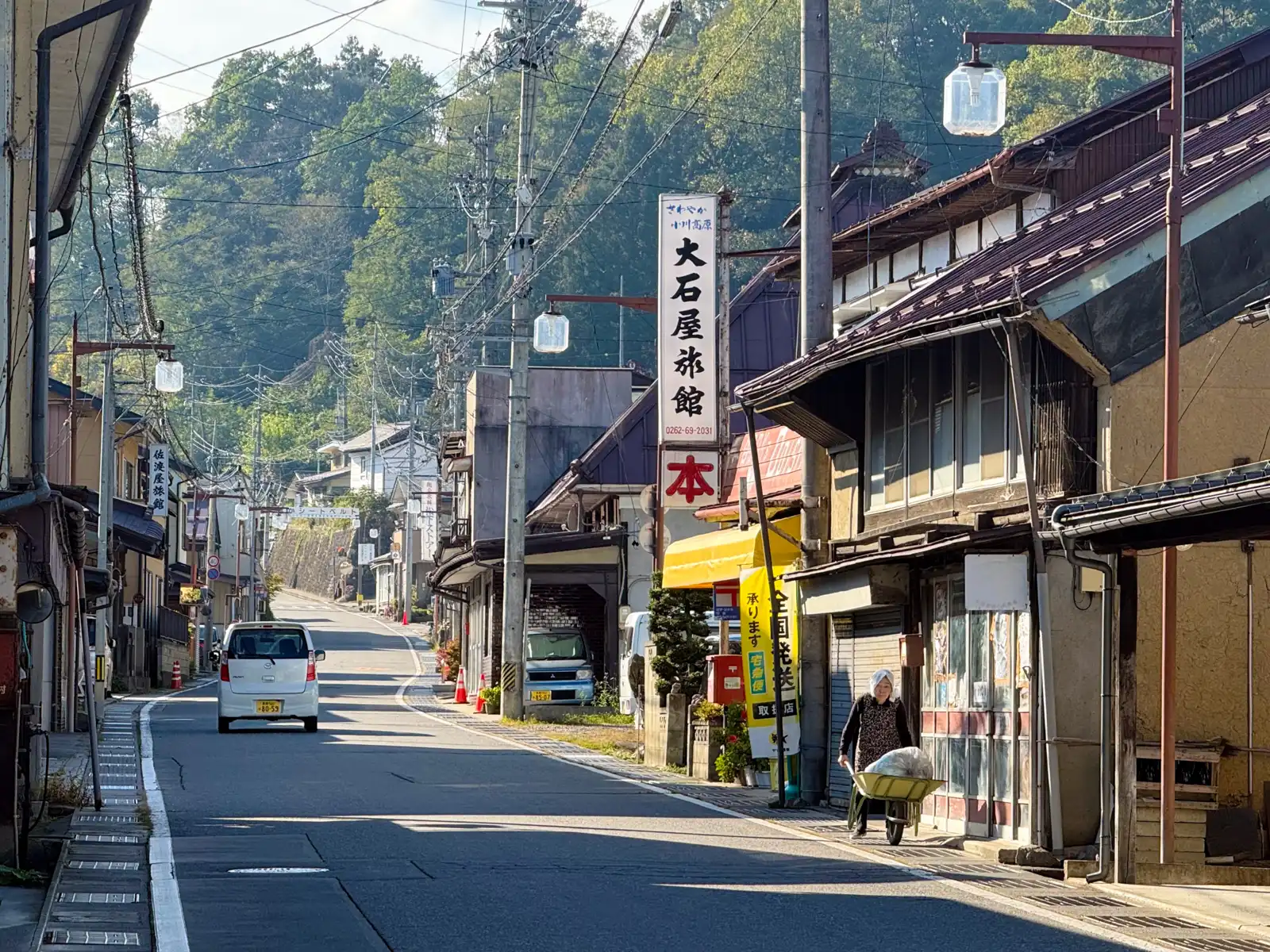
About halfway to Hakuba, the road runs through Ogawa, a small mountain village that belongs to the Most Beautiful Villages in Japan association. Its main street, in the Takafu district, felt like a sleepy little town that time forgot to update, with an old ryokan sign on a tall pole that said “Refreshing Ogawa Highlands” and an elderly lady slowly pushing a wheelbarrow along the sidewalk. Ogawa also has one fun claim to fame. In 2004 a surveying company worked out the center of gravity of Honshu, Japan’s main island, basically by cutting out a map of Honshu and finding the one point where it balances, and that point turned out to be in the mountains of this village. There’s a big monument to it at the roadside station on the road I was riding. So for a little while, at least, I was right in the middle of everything, even if it certainly didn’t feel like it.
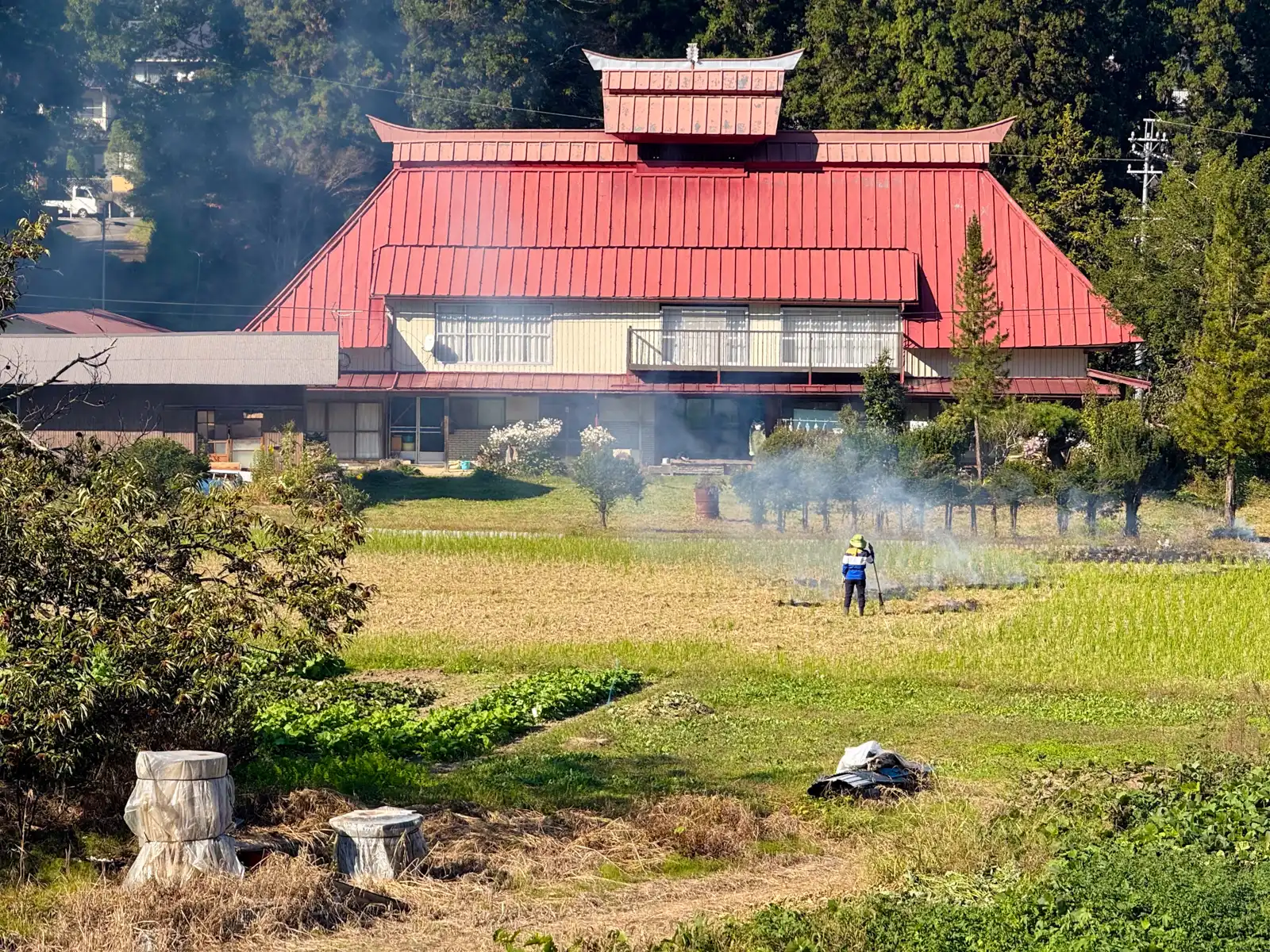
A bit further on, the road looked down over a big old farmhouse with a bright red metal roof, the kind with a little extra roof perched on top. In the field in front of it, someone in a sun hat was raking and burning off dried grass, and the smoke was drifting slowly across the field and into the trees. It was one of those scenes that feels like it’s been happening in exactly the same way for a hundred years.
Along the way I went through five tunnels. None of them were very long, the longest one probably a little under a kilometer, but I’m always happy when a tunnel is over. That longest one also turned out to be the last, and it came right before Hakuba.
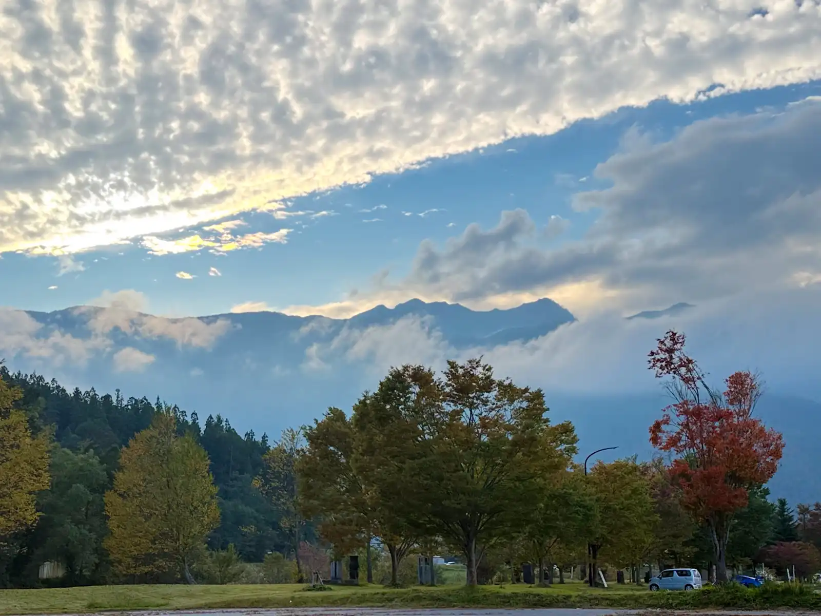
Coming out of that tunnel, the whole Hakuba valley suddenly opened up in front of me, and I honestly had to stop. Off to my left was a wall of mountains, the Northern Alps, so tall that their jagged tops were half lost in the clouds, with only their dark outline showing against the sky. I just stood there for a while with my mouth slightly open, which is probably not my most flattering look. Then the excitement kicked in. I parked the Beast by the side of the road and started walking around with my camera, and once I started, I just couldn’t stop. At that hour the scene wouldn’t sit still for a second. The sun was slowly sinking toward the ridge, and every few minutes the light changed, so the mountains looked completely different from one moment to the next. Every time I thought I had my shot, the clouds would shift or the light would turn a little more golden, and of course I had to take another one. I ended up with far more photos than I’d like to admit, and I enjoyed every single one of them.
The funny thing is, I didn’t really know anything about Hakuba before this trip. I knew the name, of course, but mostly because of Hakuba, the Japanese company that makes camera bags, straps and other photo accessories. Being into photography, I’ve seen that name on shop shelves more times than I can count, and it never once crossed my mind to look up the actual place. Well, now I know. The name comes from Shirouma-dake, one of the big peaks above the valley. Every spring, when the snow on it starts melting, a dark patch of bare rock in the shape of a horse appears just below the summit. Farmers used to call it the shirokaki-uma, the horse that stirs up the flooded rice paddies before planting, and when it showed up they knew it was time to get the fields ready. The mountain became Shiroma-dake, the characters were later written as “white horse” and read as Shirouma, and eventually most people started reading them as Hakuba. When two villages merged here in 1956, that’s the name the new village got. I really liked that story, especially since the rice in the fields below those same mountains was now golden and ready for harvest. Back in spring, that snow horse had told the farmers it was time to start getting the paddies ready, and now, a few months later, here was the result.
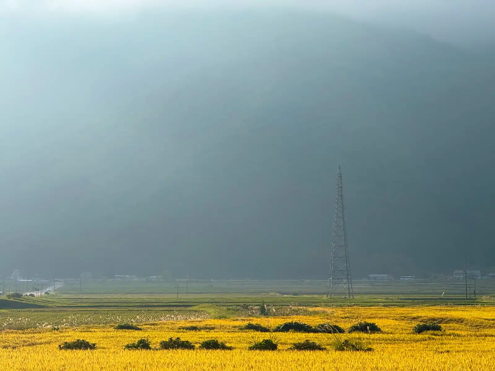
The most amazing part, though, was the light. The sun was going down, but because those mountains are so tall, it slipped behind them already at around four in the afternoon, a good hour before the actual sunset. The sky above the ridge turned bright gold, the clouds started pouring down over the peaks like a slow waterfall, and everything down in the valley went soft and blue. I kept stopping every once in a while to take another picture, telling myself each time that this one would be the last. It never was.
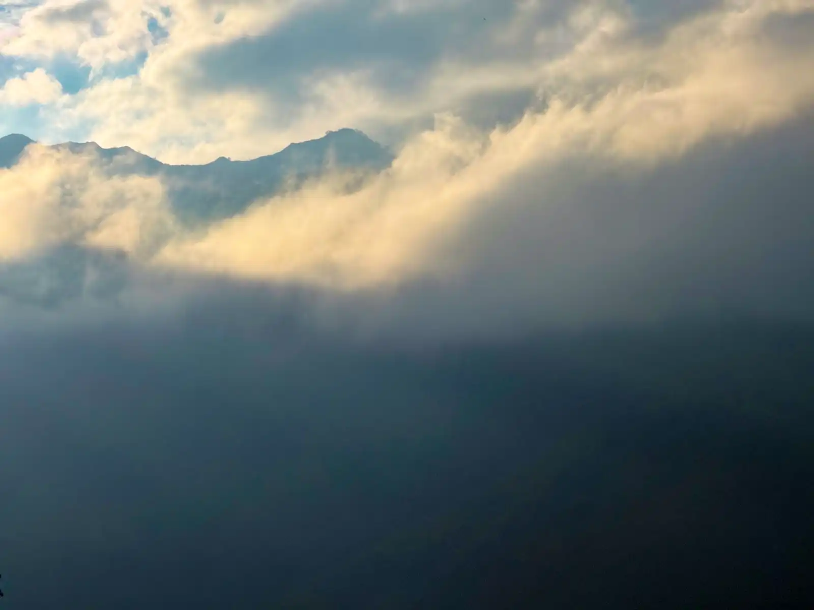
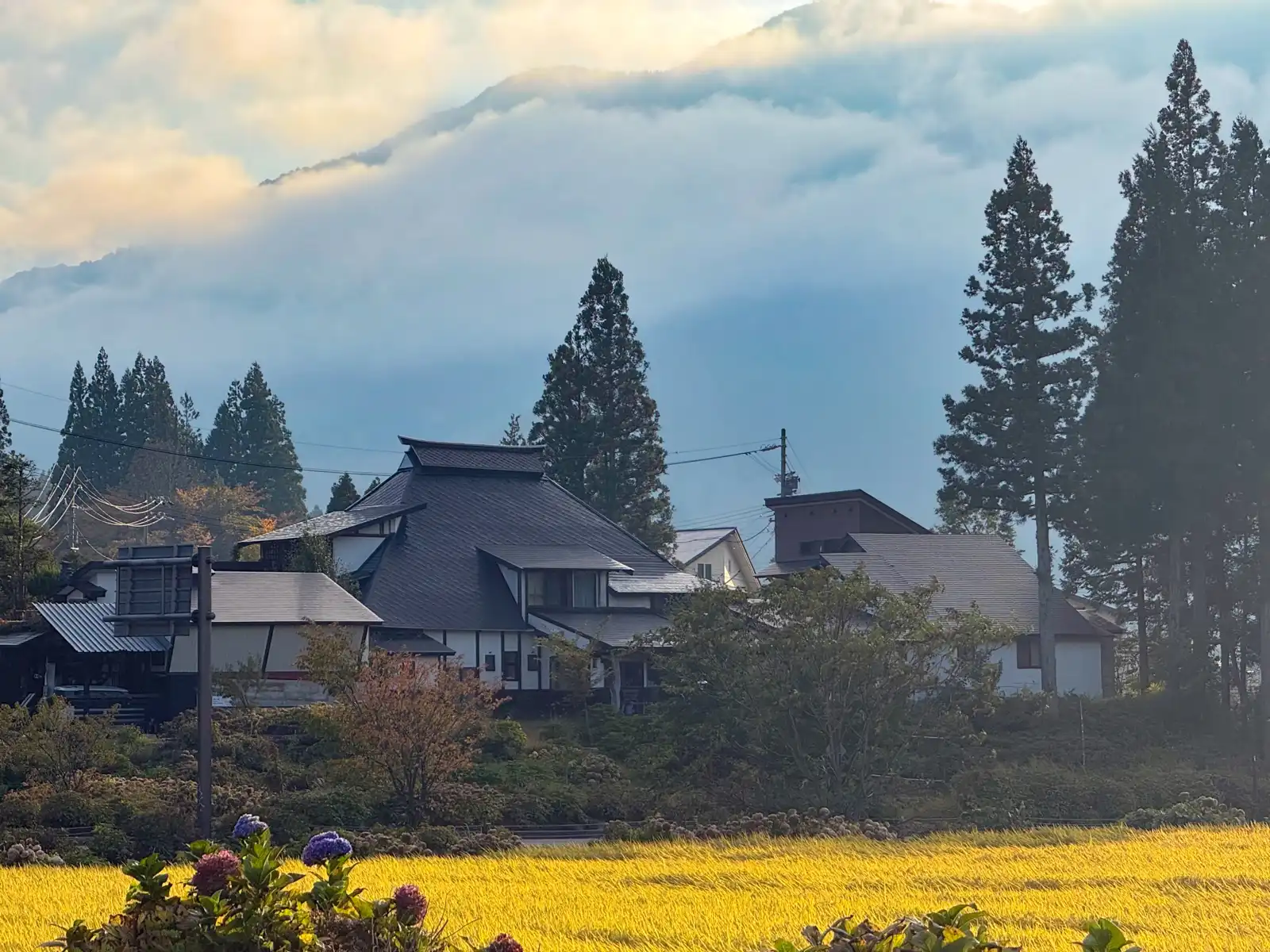
As soon as the sun was gone, it got cold. And I mean suddenly cold. The temperature fell so fast that I could almost feel it dropping on my face. I pulled over and dug out my light jacket, which I’d been carrying around for three days without needing it once. Luckily, the last stretch into town was all downhill, so I didn’t have to work very hard, and before long I was rolling up to Hakuba Station.
It was still light enough that I didn’t feel like checking in to my hotel just yet, so I rode up and down the main road for a while to get a feel for the place. Up on the mountainside in the distance I could see two ski jumps standing side by side. That’s the Hakuba Ski Jumping Stadium, the only place in Japan with a large hill and a normal hill right next to each other, and it’s where Japan’s ski jumpers won gold at the 1998 Nagano Olympics.
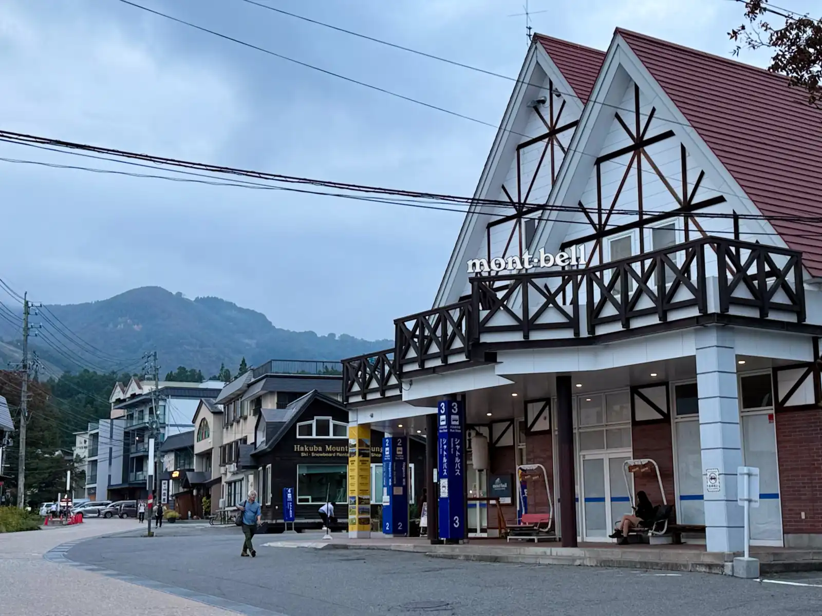
For a village, Hakuba has an impressive number of outdoor shops. All the usual suspects are here, Patagonia, The North Face, Mont-bell, you name it. The Snow Peak store, called Land Station Hakuba, is a really interesting piece of architecture designed by Kengo Kuma, with a wooden lattice ceiling inspired by snowflakes, and it even has a Starbucks inside. The North Face store has a café on its second floor. There are also hotels, lodges and guesthouses pretty much everywhere you look, and riding around, I noticed that quite a few places had German-sounding names. There’s a Marillen Hotel, for example, named after the Austrian word for apricots, and a Hotel Weisser Hof. Weisser Hof means something like “white court” in German, which feels rather fitting in a village whose name means “white horse”. I guess when you live under a mountain range called the Alps, a little German just comes with the territory. I kept half hoping someone in lederhosen to step out onto a balcony and start yodeling. On the other hand, I only managed to find one supermarket, plus a Lawson near my hotel, so I guess people come here for the mountains and not for the grocery shopping. There were plenty of visitors around, both Japanese and from abroad, and I can only imagine what it’s like in the middle of ski season.
One house I rode past had a small observatory dome on its roof, probably for a telescope, and once the sun was down I understood exactly why. It gets dark here early, with all those mountains around, and I mean properly dark. By six o’clock it was pitch black, with only a few streetlights here and there, and some of the people walking around were carrying flashlights. Coming from Tokyo, where it never really gets dark at all, I found that a little bit magical.
I picked up some dinner on the way and finally headed to my hotel, a small two-story place run by an older couple. The lady at the front was really friendly, and since there weren’t many guests at the moment, she told me to just bring the bike inside and park it in the genkan, the entrance hall. That meant no lock, no cover, no worrying about the weather, and the Beast got to spend a warm night indoors for once. My room was Japanese style, with tatami and a futon, which after a long day in the saddle felt about as comfortable as anything could. Out in the hallway there was a shared microwave, and that’s where I heated up my dinner, a pack of soba from the Lawson a five-minute walk up the hill. Not exactly a mountain inn feast, but I wasn’t complaining, and at least there was no line for the microwave.
The next day was going to be another long one, about 130 kilometers, but most of it would be downhill and then flat. Somewhere along the way I’d reach the coast in Niigata, and from there I’d follow it to Toyama, where I had a hotel near the city center for two nights, because the forecast for the day after said rain from morning till night, and I had no intention of riding in that. I’d never been on that side of Japan before, the Sea of Japan side, so I was really curious about what was waiting over there. That night, though, I was perfectly happy just lying on my futon in a valley where it gets dark at six. Before I fell asleep, it did occur to me that I’d now had lunch at Gusto on two of the three days so far. Somewhere in Toyama, I suspect, another one is already waiting for me.